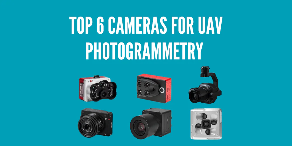
Top 6 Cameras for UAV Photogrammetry
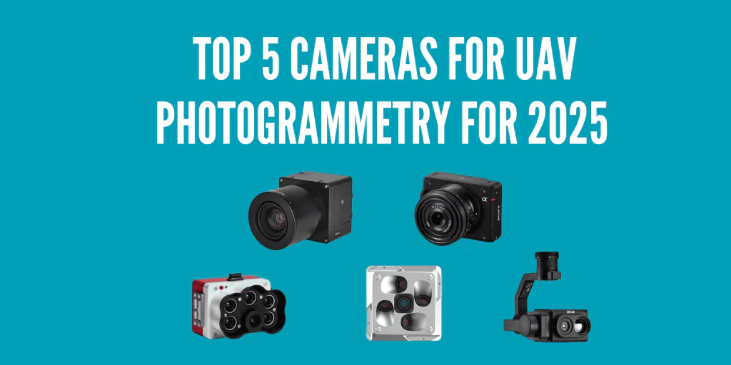
UAV photogrammetry involves measuring terrain features and real-world objects from images taken from an aerial viewpoint. High-resolution cameras are ideal for such tasks. This list of the top 5 cameras for UAV photogrammetry can help you make the right choice.
The leading UAV cameras for photogrammetry include iXM 100MP, Zenmuse P1, Sony ILX-LR1, MicaSense RedEdge MX, and Parrot Sequoia. They enhance image quality in geometric accuracy, color fidelity, dynamic range, and resolution.
Although any decent drone camera can take acceptable images, these cameras are specifically designed for photogrammetry, giving the desired outputs for various tasks, from surveying to industrial to agriculture.
Which Are the Top 6 Cameras for UAV Photogrammetry?
iXM Series UAV Camera
The iXM 100MP is a geospatial camera designed for superior-quality, sharp UAV aerial imagery. It’s a high-productivity medium-format metric camera that can be integrated with various UAVs and works with any specially developed RSM lenses with a 35-300mm focal range.
iXM 100MP’s complete wireless control lets you easily define focus distance, aperture, speed, shutter, ISO, and more.
The camera’s HDMI, USB-C, and 10G ethernet data connectivity enables versatile integration options for various UAV mapping and inspection applications.
iXM 100MP Specifications
● Dimensions: 90x90x68 mm (excluding lens), 90x90x164 mm (including 80mm lens)
● Weight: 630g (excluding lens), 1100g (including 80mm lens)
● Effective sensor Size: 43.9×32.9 mm
● Resolution: 100MP (11664×8750)
● Light sensitivity (ISO): 50 – 6400
● Dynamic Range: 83dB
● Pixel Size: 3.76 µm
● Capture Rate: 3fps
● Aspect Ratio: 4.3
Other Specifications
● Camera type: Medium format for aerial imaging
● 2K live video: 25° max. field of view
● Data interface: USB3, Ethernet 10G
● Data storage: CF express card
● Lens mount: Phase One RSM
Zenmuse P1
This surveying benchmark integrates a full-frame sensor with focus lenses (interchangeable) on a 3-axis stabilization gimbal. It offers top-notch accuracy and efficiency and is designed for aerial photogrammetry.
Key Features
● TimeSync 2.0: Achieves the camera, RTK mode, flight controller, and gimbal synchronization at the microsecond level for accurate data collection.
● 45 MP full-frame sensor: Provides incredible aerial image details by capturing high-resolution imagery (4.4μm Pixel Size) with its 45 MP full-frame sensor.
● Global Mechanical Shutter: Ensures sharp and distortion-free images with its 1/2000 seconds global mechanical shutter speed.
● Accuracy without GCPs: Achieves a 3cm horizontal distance and a 5cm vertical distance without Ground Control Points (GCP).
● High efficiency: Covers 3 km, enhancing efficiency for large-scale surveying tasks.
● 3-axis stabilized gimbal: The feature supports smart oblique capture, ensuring precise and steady images.
Zenmuse P1 Specifications
● Supported lenses:
● DJI DL 35mm F2.8 LS ASPH (with balancing ring/filter and lens hood), FOV 63.5°)
● DJI DL 50mm F2.8 LS ASPH(with balancing ring/filter and lens hood), FOV 46.8°)
● DJI DL 24mm F2.8 LS ASPH (with balancing ring/filter and lens hood), FOV 84°)
● Shutter speed: Mechanical shutter speed: 1/2000*-1 s; electronic shutter speed: 1/8000-1s
● Supported SD cards: SD: UHS-I rating or more; maximum capacity: 512 GB
● Minimum photo interval: 0.7 s
● Sensor size (maximum Video recording area): 34×19 mm
● ISO Range: Photo: 100-25600; Video: 100-25600
● Operation modes: Photo, video, playback
● Storage Files: GNSS raw observation data/Photo /image log file
● Sensor size (still): 35.9×24 mm (Full-frame)
● Photo Size: 3:2 (8192×5460)
● Aperture range: f/2.8-f/16
● Effective pixels: 45MP
● Pixel size: 4.4 μm
Other Specifications
● Operating temperature range: -20° to 50° C (-4° to 122° F)
● Storage temperature range: -20° to 60° C (-4° to 140° F)
● Supported aircraft: Matrice 300 RTK and M350 RTK
● Dimensions: 198×166×129 mm
● Weight: Approx. 800 g
● IP Rating: IP4X
● Power: 20W
Sony ILX-LR1
Designed by one of the best manufacturers of photography and videography accessories, the Sony ILX-LR1 is an industrial-grade camera suitable for surveying and mapping tasks.
Key Features
– 61 MP Exmor R CMOS full-frame sensor that ensures high-resolution imagery.
– Lightweight design – Weighing 8.6 ounces, it fits into most drones’ payload capacities without compromising on their performance.
– Remote Operation – It comes with SDK capability that allows users to customize it and even add remote control capabilities.
– Wide ISO Range—The Sony ILX-LR1 has an ISO range of 100 to 32,000, ideal for different lighting conditions.
– Continuous shooting—This camera can capture three frames per second, making it suitable for high-altitude and fast-moving use cases.
– E-Mount lens feature – It also comes with interchangeable E-Mount lenses, making it ideal for various applications.
Sony ILX-LR1 Specifications
● Sensor Size: Full-frame (35.6 x 23.8 mm)
● Effective Pixels: 61 MP
● ISO Range: 100-32,000
● Shutter Speed: Electronic shutter speed: 1/8000-30s
● Minimum Photo Interval: 0.3 s
● Video Resolution: UHD 4K
● Dimensions: 99.0 x 74.0 x 42.5 mm
● Weight: 8.6 oz (without lens)
● Remote Control: Via Sony Camera Remote SDK
● Power and Control Terminal: Supports low-latency data control for instant triggering and other remote applications.
Other Specifications
– Operating Temperature Range: -20°C to 50°C (-4°F to 122°F)
– Storage Temperature Range: -20°C to 60°C (-4°F to 140°F)
– Compatible aircraft – DJI, Parrot, and custom-made drones.
– Flexible mounting platform.
MicaSense RedEdge-MX
The MicaSense RedEdge-MX is a multispectral camera suited for precision agriculture and environmental monitoring.
Key Features
– Multispectral Imaging – This UAV camera captures in 5 spectral bands, allowing users to gain in-depth insights about the crops.
– It’s designed to be tough enough to be used in harsh conditions.
– Calibration – It gives you an option to calibrate it, allowing you to collect high-quality data that meets scientific standards.
– Integration—This camera can be integrated with various UAV platforms, such as DJI Phantom and Matrice Series, and software, such as Pix4D and Agisoft.
– Compact and lightweight design – Weighing 231 grams, it’s possible to mount on most drones.
MicaSense RedEdge-MX Specifications
● Spectral Bands: Blue (475 nm), Green (560 nm), Red (668 nm), Red Edge (717 nm), Near Infrared (840 nm)
● Resolution: 1.2 MP per band
● Field of View: 47.2° HFOV
● Storage: SD card up to 128 GB
● Shutter Speed: Global shutter speed with adjustable settings
● Minimum Photo Interval: 1 second
● Compatibility with various UAV flight controllers for remote control configuration.
Other Specifications
● Operating Temperature Range: -10°C to 45°C (14°F to 113°F)
● Storage Temperature Range: -20°C to 60°C (-4°F to 140°F)
● Varying mounting options
Parrot Sequoia
If you are looking for a lighter but still functional multispectral UAV camera, the Parrot Sequoia is another good option. While it does capture images in fewer bands than the MicaSense Rededge-MX, it captures what’s necessary for most precision agriculture and environmental monitoring applications.
Key Features
– Multispectral Imaging – This camera captures in 4 bands, enough for assessing plant health and calculating vegetation indices.
– Sunshine sensor that allows it to compensate for the change in lighting conditions, ensuring accurate data collection.
– Compact and lightweight design – Weighing 107 grams, it can be integrated with most UAV platforms.
– Wide compatibility—The Parrot Sequoia was primarily designed to work with Parrot drones, but it can also be used with other major brands like DJI as long as you have the right mounting tools.
Parrot Sequoia Specifications
● Spectral Bands: Green (550 nm), Red (660 nm), Red Edge (735 nm), Near Infrared (790 nm)
● RGB Sensor: 16 MP
● Field of View: 70° multispectral, 117° for RGB sensor
● Resolution: 1.2 MP per multispectral band, 16 MP for RGB sensor
● Storage: SD card up to 64 GB
● Weight: 107 grams
● Dimensions: 59 x 41 x 28 mm (camera)
● Adjustable global shutter
● Powered by drone supply or through external batteries
UnmannedRC 210S Oblique Camera
The 210MP Oblique Camera is designed for advanced aerial mapping applications, offering unmatched detail and accuracy. Compatible with DJI and Pixhawk, this camera system includes five individual sensors, each capturing high-resolution images at different angles. This oblique setup ensures comprehensive coverage and precise 3D modeling capabilities, making it ideal for urban planning, construction monitoring, and disaster management.
Key Features:
- High Resolution: 210MP combined resolution across five sensors.
- Oblique Imaging: Captures images at oblique angles for detailed 3D models.
- Compatibility: Seamlessly integrates with DJI M200 and M300 drones.
- Advanced Mapping: Perfect for urban mapping, construction, and more.
- Robust Design: Built to withstand challenging environments.
Conclusion
If you are looking for the best camera for photogrammetry, these six options are a good place to start. The iXM 100MP is great for high-resolution imagery, the Zenmuse P1 is the best for general aerial surveying and high-efficiency tasks, 210S for 3D photogrammetry, the Sony ILX-LR1 works best for tasks that need the highest image quality, the MicaSense RedEdge-MX Camera works best for multispectral and agricultural applications and Parrot Sequoia is another great multispectral alternative for those looking for a lighter sensor.
Learn more about the UAV camera types? Check here.
Check the best drones for photogrammetry? Check here.
Want to learn what is the best software for photogrammetry? Check here.
What is the difference between photogrammetry and LiDAR surveying? Check here.