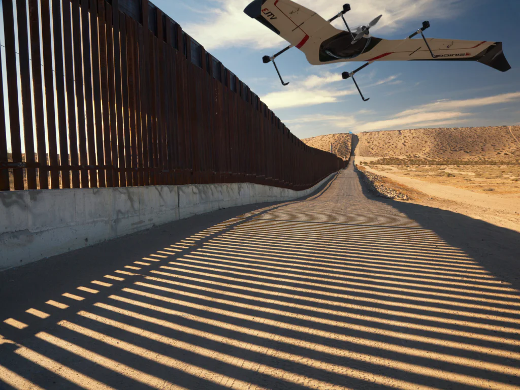
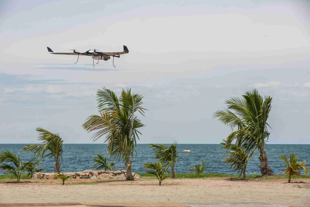
High-Altitude VTOL Drones for Mountain Border Surveillance: Thin Air, Cold and Wind at 4,000 m
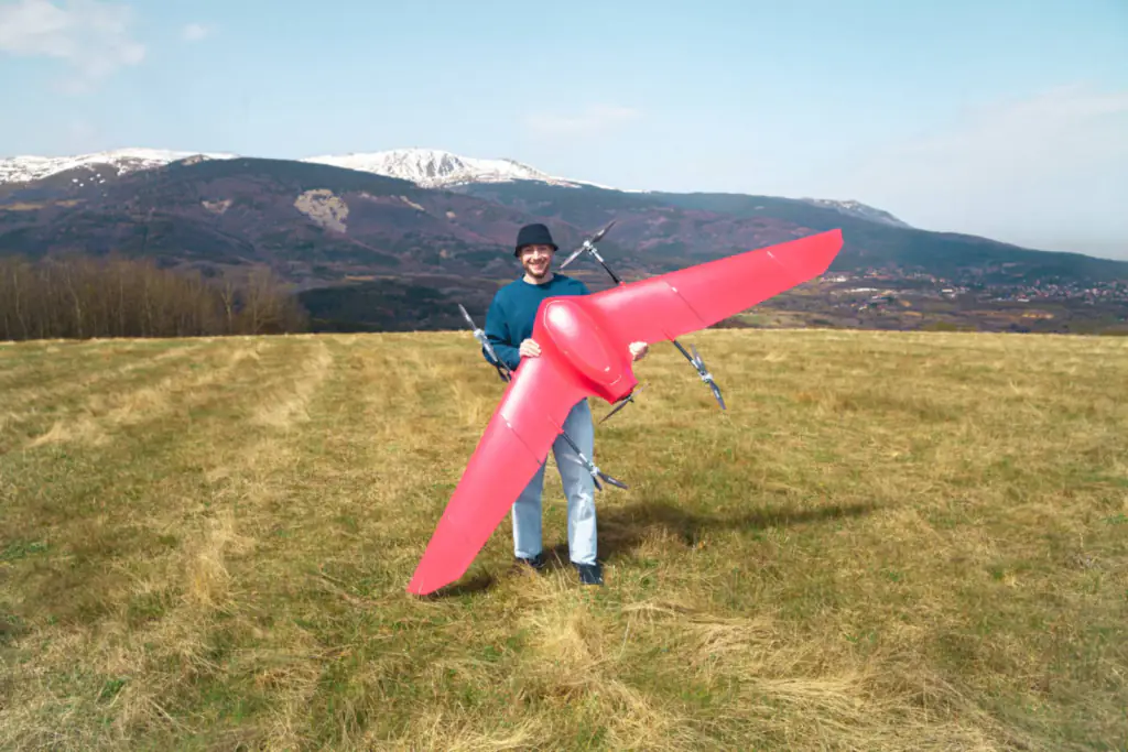
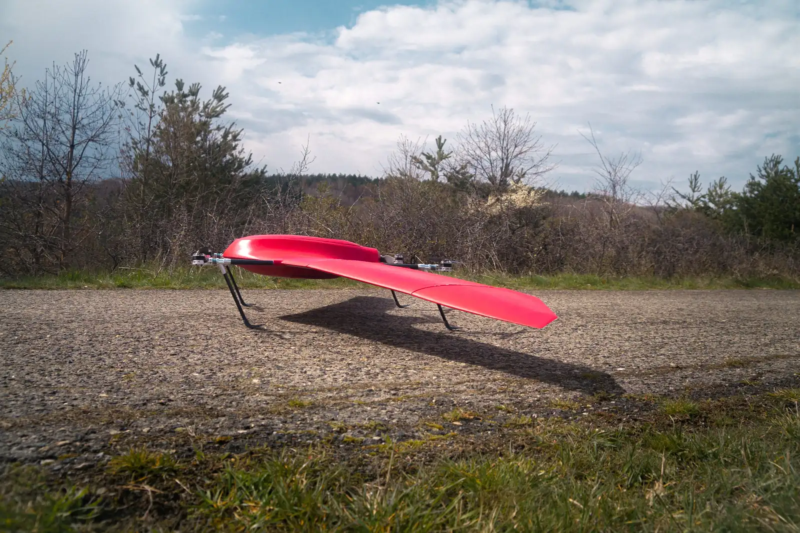
Nimbus Recon, Fadron's electric VTOL drone for ISR, takes off, flies and lands vertically at 4,000 m above sea level when fitted with propellers adapted for altitude. The standard aircraft is tested to −5 °C, and −15 °C is achievable with minor adaptations. With a 1 kg EO/IR payload it flies for up to 4 hours at sea level and about 3 h 30 min at 1,000 m, navigates without GNSS by day and night, and is ready to fly in under 2 minutes with no assembly in the field.
This guide explains the physics behind those figures for anyone specifying a drone for mountain border surveillance: what thin air does to lift and hover power, what cold does to lithium batteries, and how wind in the mountains changes a patrol plan.
Why mountain borders are buying drones now
Several governments are adding drones to remote frontiers this year. In Chile, the government's "border shield" plan aims to seal vulnerable stretches of the 1,200 km border with Peru and Bolivia, a frontier that runs from the Atacama Desert up into the mountains. Its next phase adds thermal and infrared cameras, sensors, radars and drones, all operating 24 hours a day. In France, the Pyrénées-Orientales prefecture reinforced surveillance of the Franco-Spanish border on 31 July 2026 with additional aerial means, drones among them. In Bulgaria, the armed forces are using drones to step up surveillance of the Black Sea coast, the Defence Ministry said on 19 October 2026.
The money is following. The European Commission has made more than half a billion euro available for surveillance and counter-drone technology under its Home Affairs funds, including €250 million and €169 million for surveillance drones for Frontex and member states. Our guide to SAFE, the EDF and buying European drones covers the defence-side instruments. What these frontiers share is length, few roads and a need to watch at night, which is exactly where a small VTOL aircraft that needs no runway earns its place.
How much thinner is the air at 4,000 m?
About a third. In the International Standard Atmosphere, air at sea level has a density of 1.225 kg/m³ at 15 °C. At 4,000 m it has about 0.82 kg/m³, roughly 67% of the sea-level value, and the standard temperature has fallen to about −11 °C. Every aerodynamic force on the aircraft scales with that density.
For the wing, thinner air means the aircraft has to fly faster through it to make the same lift: about 22% faster in true airspeed at 4,000 m for the same weight. For the lift rotors, the effect is harsher. A propeller turning at a given speed produces thrust in proportion to air density, so at 4,000 m it makes about a third less thrust. To hover the same weight, it must turn faster or take a bigger bite of air, and momentum theory, the textbook model for rotor performance, puts the extra ideal hover power at roughly 22%.
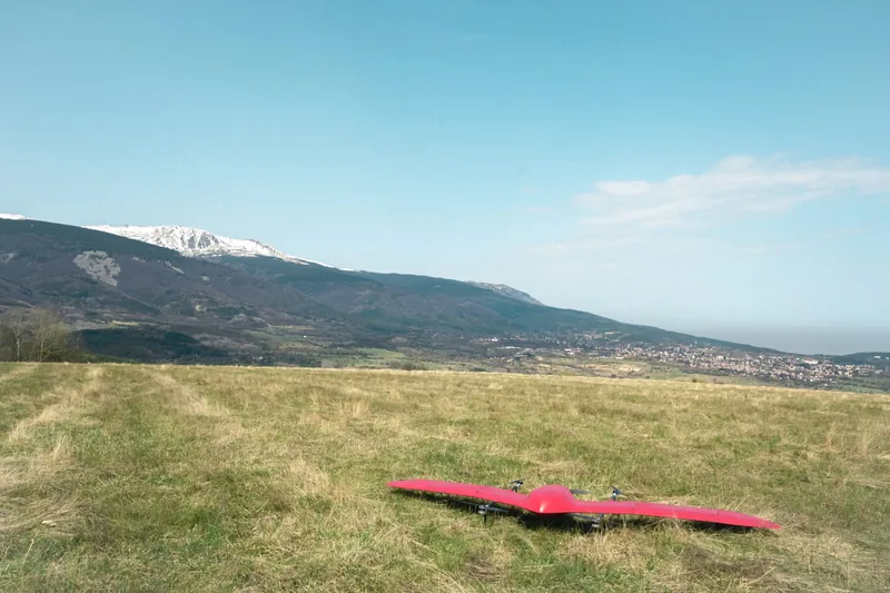
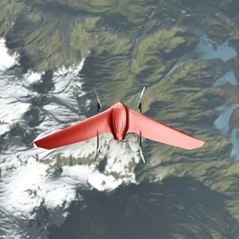
That is why altitude work is decided at the propeller. Nimbus Recon's standard envelope reaches 3,500 m. With propellers adapted for altitude, it takes off, flies and lands vertically at 4,000 m AMSL. The 4+1 quadplane layout helps: the lift rotors carry the aircraft only for take-off and landing, and the wing carries it for the rest of the patrol, so the most power-hungry phase of flight lasts minutes.
Cold-weather drone batteries: what happens and how crews manage it
Cold slows the chemistry inside a lithium-ion cell. Internal resistance rises, so voltage sags under load and the cell reaches its cut-off voltage while energy is still stored in it. The hardest moment is the highest current draw, which on a VTOL aircraft is the vertical take-off. A December 2025 study from Carleton University in Ottawa measured these effects at sub-zero temperatures across cell sizes and chemistries, and found that smaller cylindrical cells held up better in the cold than larger ones.
Altitude and cold arrive together: the standard atmosphere at 4,000 m is already at about −11 °C before night falls. Crews who fly through mountain winters manage the batteries with a few habits:
- Keep battery packs warm in the vehicle or an insulated case until the last moment.
- Fit the battery just before launch, and keep the hover phase short.
- Watch pack voltage under load in the first minute of flight, while landing is still easy.
- Plan reserves on the endurance you expect on the coldest day of the deployment.
Nimbus Recon's standard aircraft is tested to −5 °C, and −15 °C is achievable with minor adaptations. For winter work on a high plateau, specify the cold-weather adaptation with the altitude propellers. Because the aircraft needs no assembly in the field and is ready to fly in under 2 minutes, the packs go from a warm case into the air in minutes.
Wind on ridgelines and mountain passes
Mountain wind is rarely the forecast figure. It speeds up over ridges and through passes, turns gusty and turbulent in the lee of a slope, and shifts direction as the day heats and cools. Nimbus Recon is rated for wind up to 12 m/s (43 km/h). Good mountain practice makes the most of that rating: launch and recover in the shelter of terrain or a vehicle, take off and land into the wind, and route patrol legs along valleys rather than straight across exposed crests where the terrain allows.
Endurance at altitude and what it buys a border patrol
With a 1 kg EO/IR payload, Nimbus Recon flies for up to 4 hours at sea level and about 3 h 30 min at 1,000 m. Endurance falls as the air thins, so ask us for the figure at your own operating altitude and payload when you plan a high-altitude mission. On a long frontier, every extra hour on station means fewer launch points, fewer crews and fewer gaps in the night watch.
Navigation matters as much as endurance in the mountains. Steep terrain hides satellites and reflects their signals, and border regions are often where GNSS is jammed or spoofed. Nimbus Recon carries a GNSS-denied navigation system that works by day and night, fusing visual navigation with the inertial system so the mission continues when GPS does not. Our article on GNSS-denied navigation and encrypted links covers it in detail.
Deploying from a patrol vehicle
Border units work far from hangars, so the aircraft has to travel the way they do. Nimbus Recon needs no assembly in the field, one person carries it on a shoulder, and it fits flat in an SUV. It is ready to fly in under 2 minutes, and it takes off from a clearing beside the track with no runway or launcher. Its position and video go straight into the units' shared map: our article on Nimbus Recon in TAK explains how. Lead time is 10 weeks, from a factory in Bulgaria, an EU and NATO member state.
Questions buyers ask
Can Nimbus Recon take off and land at 4,000 m?
Yes. With propellers adapted for altitude, Nimbus Recon takes off, flies and lands vertically at 4,000 m above sea level. The standard aircraft operates up to 3,500 m.
How cold can Nimbus Recon fly?
The standard aircraft is tested to −5 °C. With minor adaptations, it flies at −15 °C.
How long does it fly with a thermal camera?
With a 1 kg EO/IR payload, which includes a thermal camera, Nimbus Recon flies for up to 4 hours at sea level and about 3 h 30 min at 1,000 m.
How much wind can it handle?
Nimbus Recon is rated for wind up to 12 m/s (43 km/h).
See Nimbus Recon fly your terrain
The best test of a mountain aircraft is your own mountain. Request the Nimbus Recon data sheet or a demonstration flight on your own site, or see the full specification on the Nimbus page.