Traditional vs Drone Pavement Surveys: Cost, Speed and Safety Compared
Pavement owners need clear and repeatable data on cracks, potholes and surface wear. For decades crews walked or drove every lane to record damage by hand. Small drones now give a new option. They collect high pixel images and software measures the same damage in minutes. This article puts both methods side by side so you can see the real savings in money, time and safety.
1. What each method involves
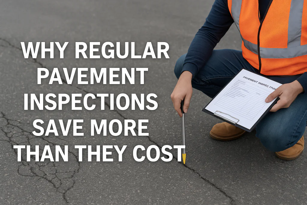
- Traditional survey: Two to six inspectors close the lane, mark areas with spray paint, write notes and take ground photos. Data entry happens in the office.
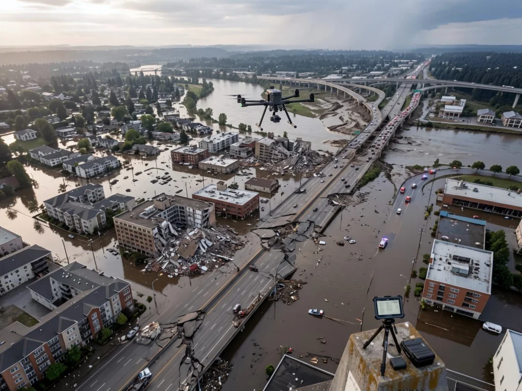
- Drone survey: One licensed pilot and one visual observer fly a grid. A high resolution camera captures overlapping images that software stitches into one map. AI tags every crack and distress for a Pavement Condition Index (PCI) score.
2. Head to head numbers
| Factor | Foot or vehicle survey | Drone survey |
|---|---|---|
| Surface closure time* | 2–4 h per 3 km of road 1–3 h per 3 000 m runway | 20–40 min per 3 km of road 20–40 min per 3 000 m runway |
| People on site | 4–6 | 2 |
| Typical data detail | Photo every 15–25 m subjective notes | 1–3 mm per pixel full map objective counts |
| Direct cost** | $6–8 k per runway $200–300 per km of road | $3–4 k per runway $90–120 per km of road |
| Worker exposure | On active pavement | Off pavement edge |
| Repeat survey ease | High effort | Low effort |
*Closure time can be longer for multi-lane roads.
**Cost ranges based on 2024 US market quotes and published case studies.[1][2]
3. Case study snapshots
- Kuwait Highway Program: Drones mapped 1 000 km of major roads in six weeks with no full closures. The public works ministry said the project cost was 40 percent lower than past ground surveys.[3]
- Paris Charles de Gaulle Runway: Nine flights recorded 200 000 m2 at 1.5 mm/pixel in under two hours. The airport used the map to plan targeted patch work and reduced future inspection windows.[4]
- Harrisonburg VA City Streets: A small US city used a quadcopter to cover 350 km of streets for potholes in three days. The crew of two needed no lane closures and finished data processing in 48 hours.[5]
4. How drones cut hidden costs
Ground surveys include traffic control, night work pay and accident insurance. A 2019 risk study showed work zone crashes add about $35 000 per 100 hours of lane closure in claims and delay costs.[6] Because drones finish faster and often from the shoulder, many of these extras fall away.
Sample cost breakdown for one 3 000 m runway
| Item | Ground survey | Drone survey |
|---|---|---|
| Crew wages and travel | $3 200 | $1 200 |
| Traffic control / closure | $1 400 | $500 |
| Delay to airlines* | $2 000 | $400 |
| Total | $6 600 | $2 100 |
*Assumes 15 flights diverted per hour at $90 average delay cost.
5. Data quality and repeatability
Drones provide a full image record that can be re-used every season. You can run new AI models later without visiting the site again. Ground notes cannot be rerun and may differ by inspector mood or training.
6. Safety gains
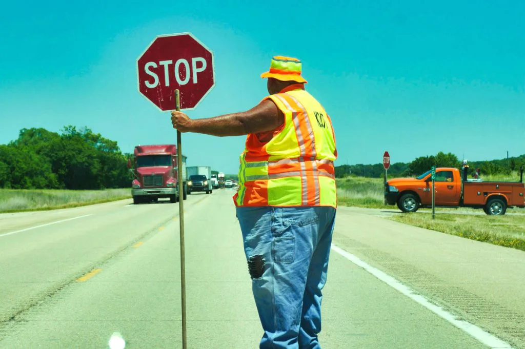
- No workers walking lanes with live traffic.
- Less time near jet blast on runways.
- No need for night shifts to avoid traffic peaks.
7. When foot surveys still help
Drones struggle in strong wind or heavy rain. Deep structural issues like base failures may still need cores or falling weight tests. Best practice is a mixed program: fast drone scans each year with spot ground checks on flagged areas.
8. Key takeaways
- Drones cut survey cost by 35–50 percent on average.
- Runway and road closures drop by up to 80 percent.
- Image maps give objective records and support AI crack counts.
- Worker exposure is much lower which trims liability.
Need a cost check for your site?
Fadron provides fast drone surveys and clear ROI reports. Contact us here for a free estimate.
References
- FAA Tech Center. Small Unmanned Aircraft System Pavement Inspection Report, 2023.
- ASTM D6433. Standard Practice for Roads and Parking Lots PCI Surveys, 2022.
- Kuwait Public Works Ministry press note on drone highway project, 2024.
- airsight GmbH. Paris CDG Drone Pavement Survey Case Study, 2016.
- City of Harrisonburg Council Minutes. Drone Street Survey Results, 2021.
- ARTBA Work Zone Crash Cost Analysis, 2019.