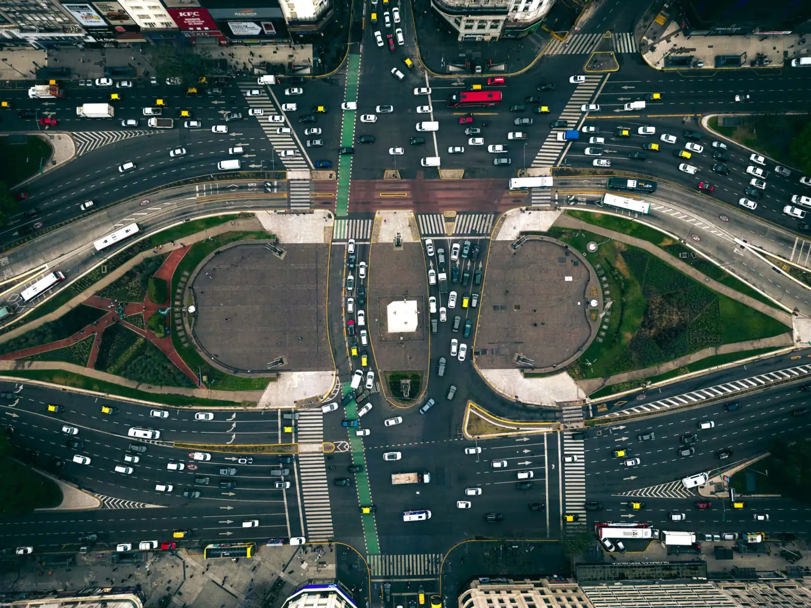
Drones and AI for infrastructure inspection
Pavement condition, measured from the air.
A 15-minute drone flight becomes an ASTM PCI report: every crack detected, measured, and mapped. Fly any survey-grade drone, or Nimbus, our long-range VTOL designed and built in Europe.
One report, three jobs.
An owner, a contractor, and a drone operator each need something different from a PCI report. All three end up with a number they can defend.
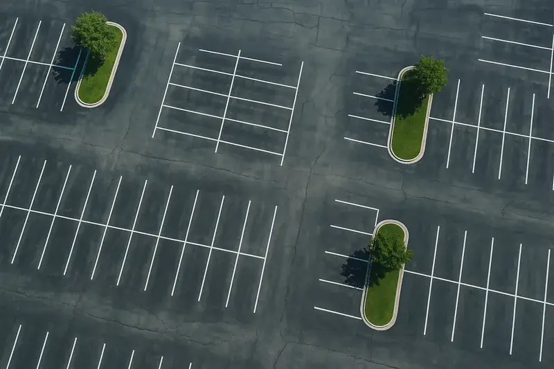
“I manage pavement assets.”
Score every site to one objective standard, compare contractors on the same data, and validate the work you paid for.
Analyze, compare, validate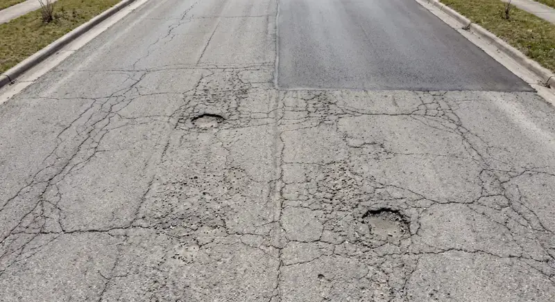
“I bid on paving work.”
Bid from measured quantities: every distress on the lot totaled in square meters, ready to price.
Bid with data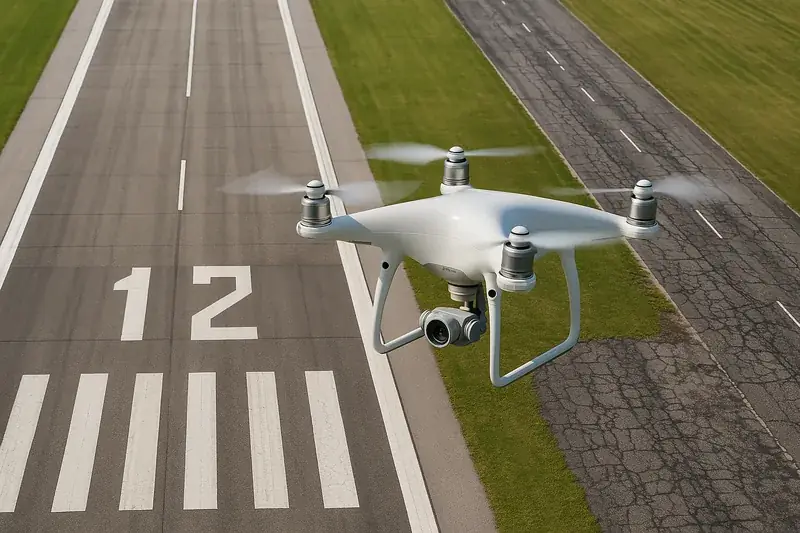
“I operate drones.”
Turn flights you already fly into engineering documents your clients pay for.
Sell the analysisShow the work
Raw imagery in. Engineering data out.
You are looking at a real runway. Drag the handle.

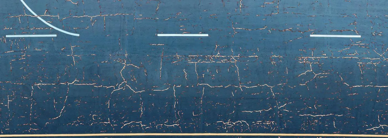 Raw imagery
HALO AI detection
Raw imagery
HALO AI detection
One real inspection, as HALO AI reported it.
Will an AI score hold up in an audit? The deduct values and the max CDV are printed in the report, so your auditor can re-run the ASTM math by hand. See the full sample report.
What we inspect
One platform, every paved and concrete asset.
The same platform reads all four. Start with the surface you manage.
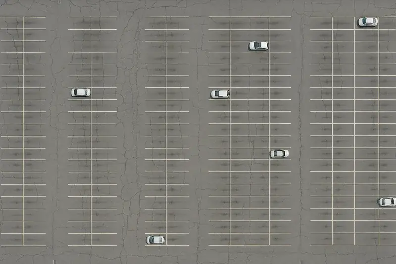
Parking Lots & Sites
A 15-minute flight becomes bid-ready ASTM D6433 quantities, usually back the same day.
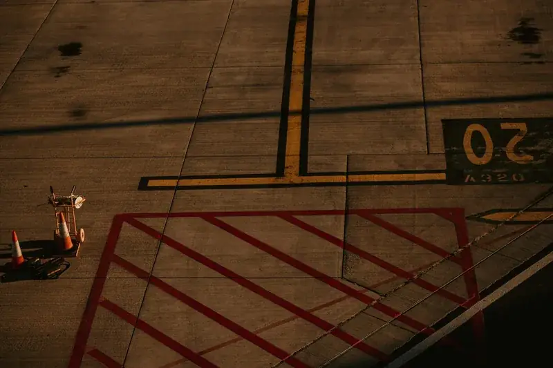
Airport Runways
ASTM D5340 PCI from one off-peak flight, with no inspection crews walking the pavement.
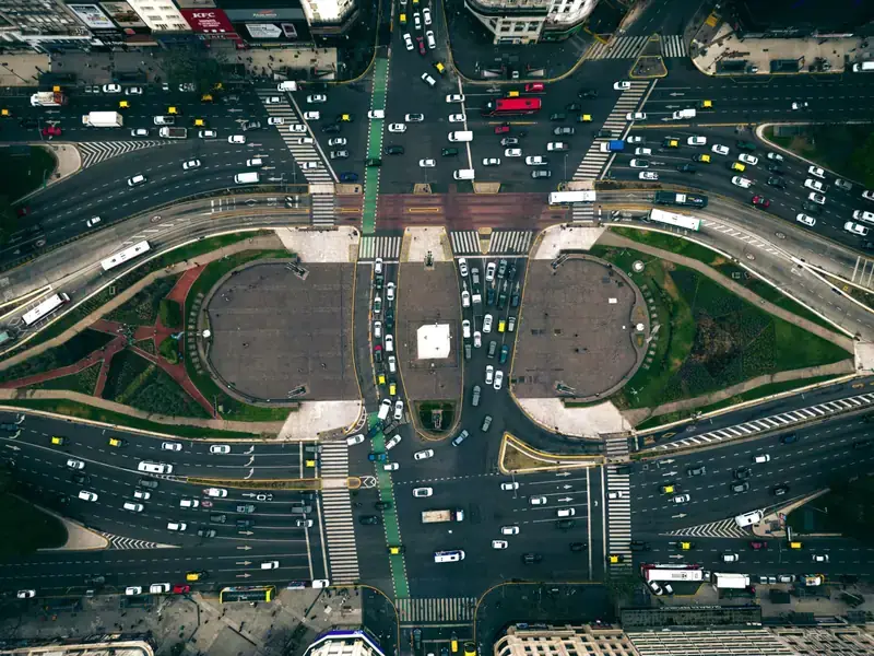
Roads & Highways
A measured PCI for every segment on the network, scored by the same model each time.
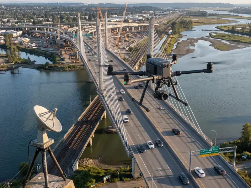
Concrete & Bridges
Cracks from 1 mm on decks and piers, pinned to a navigable 3D twin.
The platform
HALO AI works with the drone you already fly.
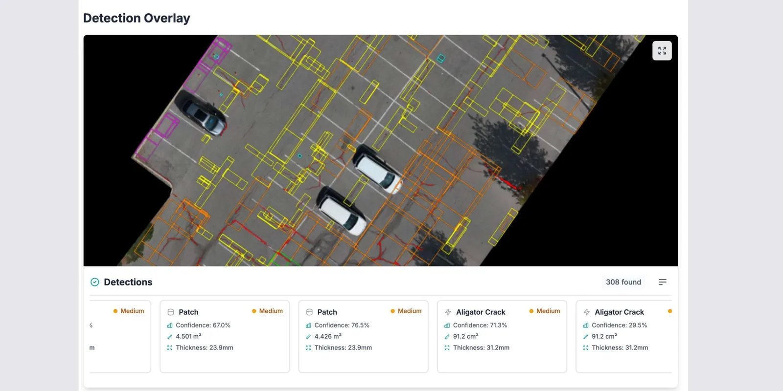
HALO AI traces every crack, measures it, scores the pavement to ASTM D6433 or D5340, and totals the repair quantities. You get back a PCI report, a defect map, and an interactive digital twin.
Crack width, length, and area come back 98% accurate, and the PCI map lands within 95% of what a qualified engineer scores on the same pavement. Two engineers scoring the same surface by hand typically land about 16% apart. One model scores every survey, so the number you get in March is comparable in October.
HALO AI needs high-resolution, georeferenced imagery. DJI, Wingtra, Skydio, and more already produce it, and files upload as they come off the card.
Explore HALO AI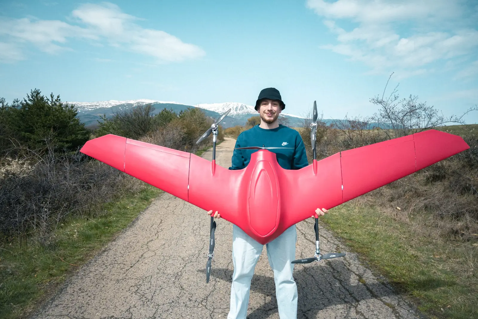
The aircraft
Nimbus flies the whole corridor in one launch.
Nimbus takes off and lands vertically, so a survey launches from any clear area on site. It flies up to 300 km of route between one launch and one landing, and the corridor comes back as one continuous dataset, captured in a single weather window.
The payload margin is sized for a survey-grade head: a full-frame mapping camera, a LiDAR unit with its IMU, or a thermal and RGB pair carried together. Sony, Phase One, YellowScan, Gremsy, and Workswell are among the heads already integrated.
Explore NimbusWhy Fadron
Why Fadron
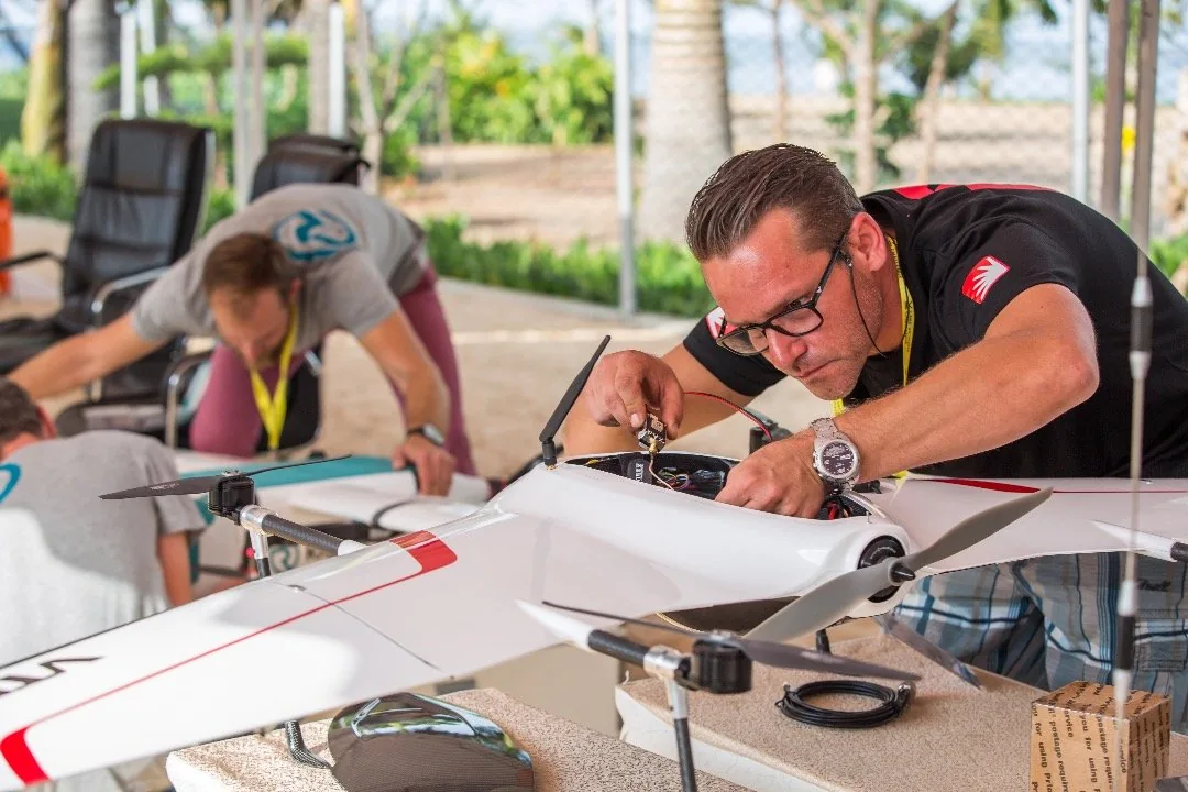
We build the aircraft, the AI, and the report.
One team stands behind the number in your report, the software that produced it, and the aircraft that captured it. Changes to any of the three are engineered and validated in house.
Our mission is to make critical infrastructure safer, smarter, and more resilient by combining drones and AI into a seamless system for continuous, automated inspection. That leads to condition monitoring on a fixed interval: every asset measured on the same basis, on a schedule, before anything has failed.
Named Innovative Enterprise of the Year 2025 by ARC Fund. Holder of an EIC Seal of Excellence.
About FadronNews & insights
From the field and the lab.
Technical notes and field stories on drone inspection, long-range mapping, and AI perception, on the Fadron blog. Every post carries at least one original number or image.
- Runway FOD: what a walk-down finds, what it misses, and what that costs in closure time.
- The ground sampling distance your survey actually needs: about 5 mm/px for road PCI, about 3 mm/px for airfields.
- Why catching a crack under 2 mm buys three to five more years of pavement life.
See what HALO AI finds on your pavement.
Meet HALO AI, the analysis platform, and Nimbus, the aircraft. Send imagery of your own site and we will analyze 1 ha of it at no charge.