AI Crack Detection: Turning Orthophotos into Actionable PCI Scores
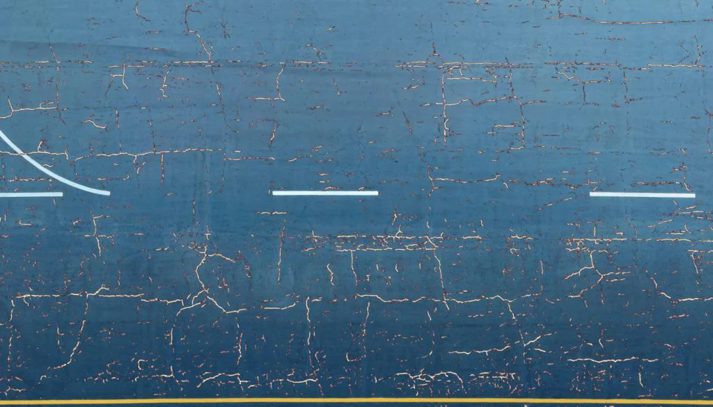
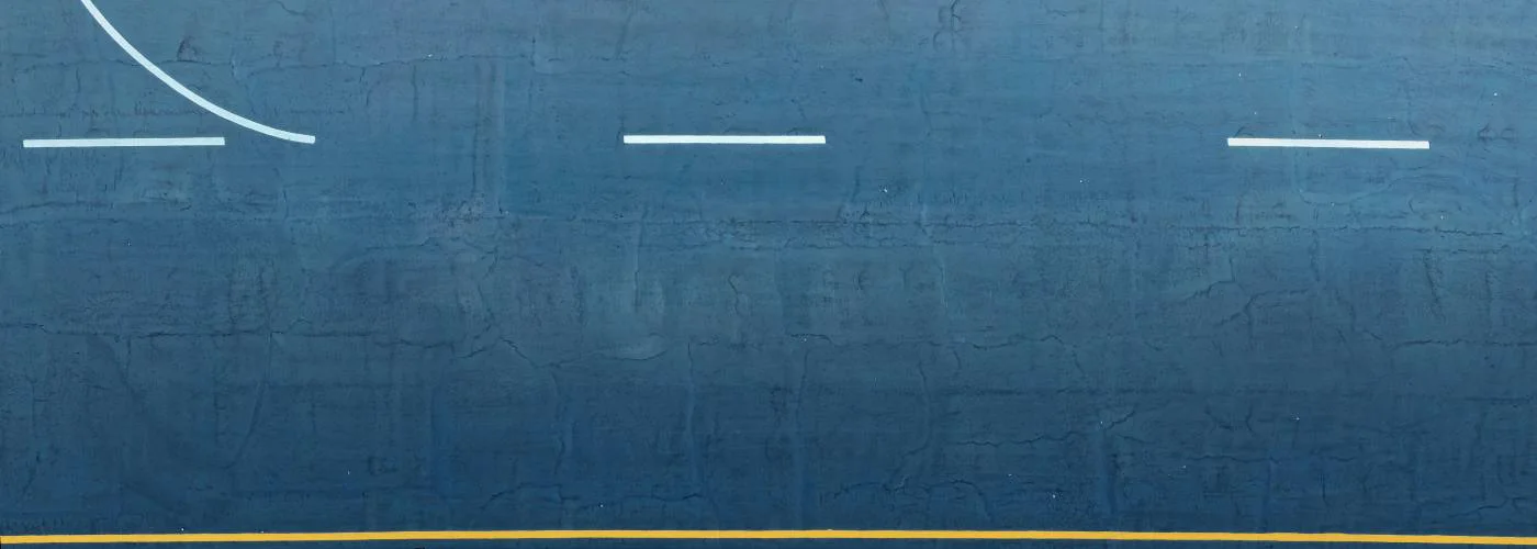
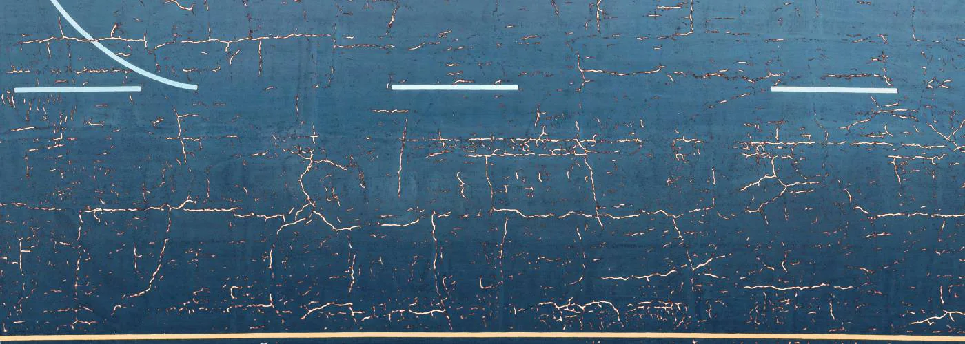
Cracks in asphalt do not stay small for long. When a 3 mm fissure meets water, fuel or hydraulic fluid, it widens fast and weakens the pavement structure. Airport and highway managers therefore inspect surfaces often and assign a Pavement Condition Index (PCI) score that guides maintenance budgets. Until recently the scoring process involved teams on foot, clipboards and lots of lane closures. Today high-resolution drone orthophotos plus artificial intelligence (AI) can deliver the same PCI score—often with greater accuracy—in a single workday. This article shows how the workflow operates, how much accuracy you can expect and where Fadron’s HALO AI platform fits in.
From flight plan to orthophoto
- Flight altitude and GSD. To capture hairline cracks you need a ground sample distance (GSD) of 1–3 mm per pixel. A 20 MP 1-inch sensor flown at 8–10 m usually meets this target. For wide taxiways or multi-lane roads you can split the area into overlapping blocks instead of flying higher.
- Overlap. At least 80 percent forward overlap and 70 percent side overlap lets photogrammetry software build a distortion-free orthomosaic. Modern mission planners automate these settings.
- Control and accuracy. Either Real-Time Kinematic (RTK) logging or ground control targets keep horizontal error below 2 cm. Tight alignment matters because crack vectors must match historical maps when you measure growth next season.
- Radiometric quality. Fly in bright dry weather. Moist spots mask hairline cracks and low sun causes long shadows that an AI model might treat as damage. Keep the camera at ISO 100–200 to reduce noise.
- Stitching. Software like Agisoft Metashape, OpenDroneMap or Fadron HALO’s cloud stitcher merges hundreds of photos into a single GeoTIFF. The result is a true-ortho map where every pixel is at a uniform scale.
What the AI engine actually does
Raw pixels alone do not reveal pavement health. AI models built on convolutional neural networks scan the orthophoto tile by tile and classify each pixel as crack or background. The most common architecture for this task is a U-Net style encoder-decoder that keeps spatial detail while learning context. Training data usually includes thousands of cropped images labeled by civil engineers to cover:
- Longitudinal, transverse and block cracks.
- Alligator cracking stages (A1, A2, A3).
- Patching, potholes and lane-joint breaks.
During inference the model outputs a binary mask or a set of vectors. Post-processing modules merge short segments, filter out noise smaller than a few pixels and measure crack length, width and orientation. Severity classes follow ASTM D5340 or D6433 rules. The counts feed directly into the PCI distress matrices.
Typical model accuracy
| Source | Precision | Recall | F1 score | Input GSD |
|---|---|---|---|---|
| FAA Tech Center (2023) | 0.97 | 0.95 | 0.96 | 2 mm |
| DGAC France (2022) | 0.95 | 0.94 | 0.95 | 1.8 mm |
| University of Texas (2024) | 0.96 | 0.94 | 0.95 | 1.5 mm |
Precision shows how many detected crack pixels are correct. Recall shows how many real crack pixels the model found. Values above 0.90 mean very few false alarms or misses.
Converting AI outputs to PCI
PCI is a 0–100 score derived from distress type, severity and quantity. An automated pipeline completes four steps:
- Area assignment. Split the runway or road into management sections (e.g., 50 m by 50 m sample units).
- Distress tally. Sum crack lengths and areas per section and map to ASTM severity tables.
- Deduct value. Each distress generates a deduct value. The sum of deducts subtracted from 100 gives the raw PCI.
- Corrected PCI. Apply correction rules when multiple severe distresses coexist. The output is a table and a heat map where green = good, red = critical.
A medium hub airport reported that the AI pipeline reproduced human-generated PCI scores within ±2 points on 92 percent of its sample units—a difference well inside the error range accepted by the FAA.
Where HALO AI adds value
HALO AI is Fadron’s end-to-end pavement analytics suite that links the whole chain.
- Cloud stitching. Upload photos directly from the drone SD card. HALO runs a parallel photogrammetry engine and delivers a GeoTIFF in minutes. No local GPU needed.
- Auto-QC. The platform spots blurred or underexposed frames and flags them before analysis so you avoid missing cracks.
- AI crack detection. HALO’s latest model contains 1.8 million labeled samples from airports, highways and parking sites. It identifies 18 distress classes and returns shapefiles or GeoJSON.
- Instant PCI. A built-in PCI calculator follows ASTM look-up tables. You get section scores, a full-length report and a CSV ready for MicroPAVER or Stoneleigh PMS.
- API hooks. Engineering firms can call the HALO REST API to push results into their BI dashboards or maintenance ticketing systems.
Most users finish capture in the morning and download a signed PDF report before the workday ends.
Time and cost savings
| Task | Legacy manual workflow | Drone + HALO workflow |
|---|---|---|
| Field collection (3 000 m runway) |
4 h closure, 5 staff | 40 min closure, 2 staff |
| Data processing | 24 h manual digitizing | 3 h automated |
| Report writing | 4 h engineer time | Auto-generated |
Savings come from shorter closures, fewer staff hours and no manual tracing. For long highway strips the ratio is similar: about 40 percent lower cost per kilometer at equal or higher data quality.
Practical tips for reliable results
- Calibrate focus. Check the first flight strip at 200 percent zoom. Hairline cracks should be sharp.
- Watch reflectance. Very new asphalt can be oily and shiny. A polarizing filter reduces specular glare that confuses edge detectors.
- Avoid shadows. Schedule flights when the sun is at least 30 degrees above the horizon or use cloud cover to diffuse light.
- Check wet spots. If parts of the surface are damp, reschedule. Water fills small cracks and the AI will miss them.
- Validate. Ground-truth 5 percent of the sample units with manual measurements to build confidence and meet audit rules.
Future directions
AI crack detection is moving beyond simple segmentation. Research teams are merging thermal layers to reveal moisture-induced stripping and LiDAR to measure rut depth to the millimeter. Predictive models trained on multi-year data could soon forecast crack growth and recommend treatment times automatically. HALO AI already stores temporal layers per site so users can plug in future predictive modules without collecting new baselines.
Conclusion
Drones paired with AI cut inspection time from days to hours and turn orthophotos into PCI scores professionals can trust. GSD of 1–3 mm per pixel is the current sweet spot, delivering 95 percent or higher detection accuracy. With platforms like Fadron’s HALO AI that automate stitching, crack mapping and PCI calculations, engineering teams can focus on planning repairs instead of tracing lines. Early adopters report cost savings near 50 percent and a sharp drop in runway or lane closure hours—tangible wins in both budget and safety.
References
- FAA Technical Center. Small UAS Pavement Inspection Accuracy Study, 2023.
- DGAC France. Drone-Based Runway Distress Mapping, 2022.
- Texas Advanced Computing Center. Deep Crack: CNN for Asphalt Distress Detection, 2024.
- ASTM D5340 and D6433 Standard Practices for PCI Surveys, 2022.
- Halford, R. Orthophoto Resolution and Crack Detection Thresholds, Journal of Transportation Engineering, 2023.