Drone Applications in Construction
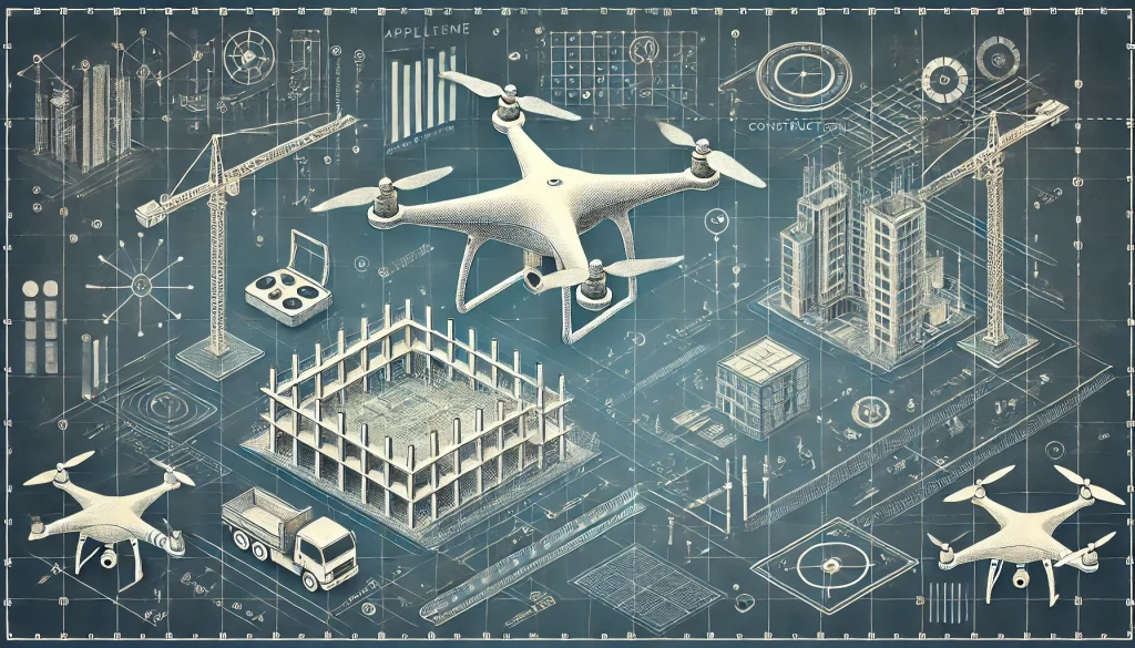
According to the Drone Industry Insight Application report, the construction industry is one of the top industries where drones are becoming increasingly valuable. But what exactly do construction companies use drones for? This article will dive into specific use cases.
Tracking Construction Progress
This is where the client wants you to take images and videos of the site from different angles at different stages to show how it is progressing. You could even livestream a site visit to stakeholders without them having to visit the site physically.
In some instances, you can create 3D models, which they can compare with the site plan they had to see if they are on track, identify any hurdles, and gain insights for the project going forward. Since drones are easier to deploy, progress tracking can be done more often, providing real-time data, reducing errors, and potentially minimizing rework costs.
Faster and Safer Inspections & Maintenance Checks
Drones have become instrumental tools in ensuring the safety of workers on construction sites. How? By using them for inspections. Inspections on rooftops and other elevated and inaccessible areas where you’d need a worker up there can now be done with drones. Some drones have LiDAR, AI, and other advanced imaging payloads. Paired with dedicated software, you not only keep workers safe but also save time by completing work that could take days in a few hours.
Aerial Mapping
The Drone Industry Insights Applications report lists Drone Surveying and Mapping as one of the top uses of drones. The deliverables include orthomosaics, DTMs, DSMs, and 3D meshes, among other outputs. Compared to traditional mapping, drones provide a quicker way to do it. When done efficiently, aerial surveys can be as accurate as conventional surveys. Read on to find out how these deliverables are helpful.
Volumetric Measurements and Calculations
When accurate data is collected with a drone, the next step is to use the results for measurements and calculations of cuts and fills. Again, this process takes time when done using traditional methods. Drones help save time while enabling efficient resource management.
Planning and Design
The outputs of a drone survey can be in various formats, allowing them to be integrated into the planning workflow. Architects, surveyors, engineers, and other stakeholders can use the DTMs to understand the change in terrain and the 3D models and digital twins to visualize how the final project will look.
Efficient Earth Moving Contract Resolution
During construction, drones have been useful in helping accurately calculate the volume of earth moved, offering a better way to pay contractors based on the earth they have moved instead of relying on estimates.
Customizing Bids for Construction Projects
Let’s say you have been invited to bid on a project on short notice. How do you ensure you come up with an accurate bid? Drones can help you quickly map, measure, and calculate what’s needed. By minimizing errors, you can accurately price the project and potentially reap more profits.
Conclusion
If you are in the construction industry or are into drones and want to venture into construction, there are several ways you can use drones. Drones can quickly capture pictures and videos for progress monitoring, conduct surveying and mapping for planning and design, make inspections and maintenance checks safer and faster, and even help in contract reconciliations.