The 300km Drone: The Ultimate Tool for Linear Infrastructure
There is a specific kind of headache reserved for surveyors and inspectors who are tasked with mapping linear infrastructure.
Whether it is a high-voltage power line cutting through a mountain range, an oil pipeline stretching across a desert, or a railway track connecting two cities, the geometry of the job is the problem. The asset is long, thin, and often located in terrain that is difficult to access by road.
For the last decade, the industry has tried to force square pegs into round holes by using standard quadcopters for these jobs. It results in a workflow known as the “leapfrog” method. The pilot drives to an access point, launches the drone, flies five hundred meters down the line, lands, packs up, and drives to the next access point.
It is slow, inefficient, and exhausting. It turns a job that should take hours into a campaign that takes weeks.
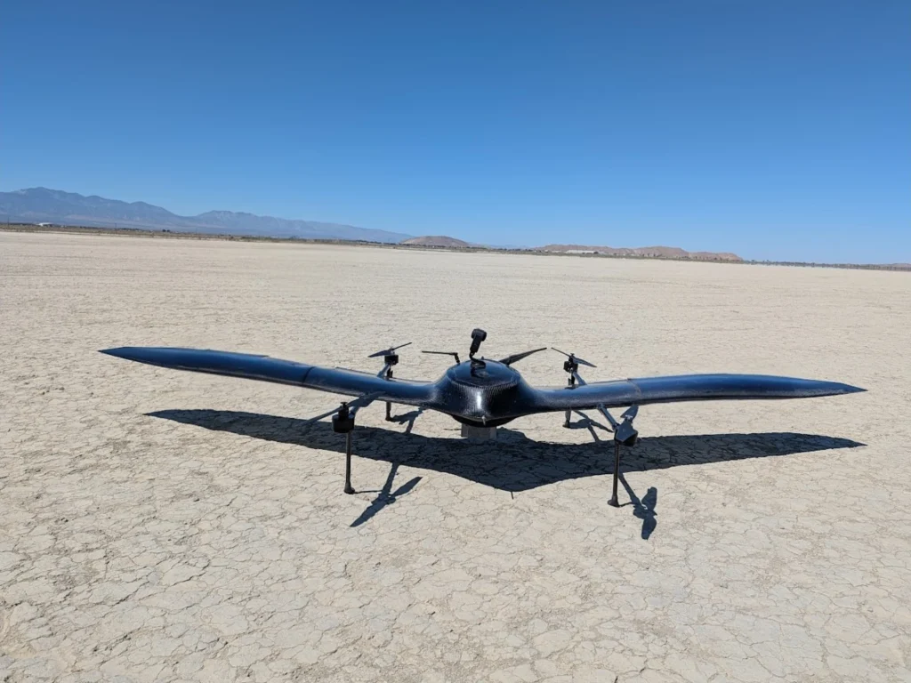
The Nimbus UAV was designed to delete this workflow entirely. By engineering a platform capable of a 300 km flight range, we have built a tool that treats linear infrastructure the way it was meant to be inspected: in one continuous, efficient sweep.
The Geometry of Efficiency
Standard multirotor drones are excellent tools for “area” jobs. If you need to inspect a single cell tower or map a square construction site, a quadcopter is perfect. But they are fighting physics when they try to fly far. They have to burn energy constantly just to fight gravity.
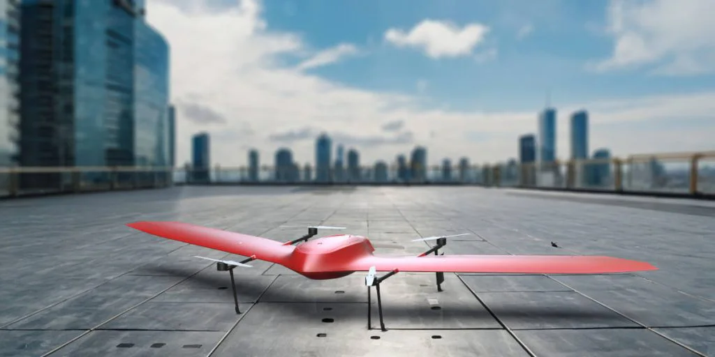
The Nimbus is different. As a VTOL (Vertical Take-Off and Landing) fixed-wing aircraft, it only uses its lift motors to get off the ground. Once it transitions to forward flight, the wing does the lifting. This aerodynamic efficiency allows the Nimbus to cruise at speeds of 120 km/h for up to four hours.
This combination of speed and endurance completely changes the math of linear inspection.
Instead of leapfrogging every kilometer, a Nimbus crew can set up at a single secure location. From that one point, the drone can launch, inspect a massive stretch of the asset—flying 150 km out and 150 km back, or flying 300 km point-to-point—and land safely.
What used to be a logistical nightmare involving 4×4 vehicles and constant equipment setups becomes a single flight mission.
Bridging the Gap Between Drones and Helicopters
Before long-range drones, the only real alternative to the “leapfrog” method was a manned helicopter.
Manned aviation is fast and effective, but the costs are astronomical. You are paying for fuel, maintenance, pilot hours, and the massive insurance premiums associated with low-altitude manned flight. For many utility companies, helicopter inspections are simply too expensive to do frequently.
The Nimbus occupies a powerful middle ground. It offers the range and speed capabilities that rival a light helicopter survey but at a fraction of the operational cost.
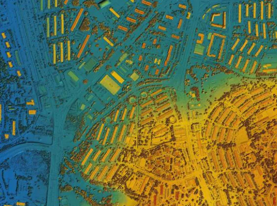
You get the same high-resolution data—whether it is LiDAR for vegetation encroachment or high-res RGB for component inspection—without the six-figure price tag. This affordability means operators can inspect their assets more often, catching defects like rusting pylons or pipeline leaks months earlier than they would with traditional methods.
Built for the BVLOS Future
We are currently standing on the edge of a regulatory shift. Across Europe and the world, aviation authorities are opening up the skies for BVLOS (Beyond Visual Line of Sight) operations.
The regulations are catching up to the technology, and the companies that will win the contracts of 2026 are the ones with the hardware ready to utilize these new rules.
Short-range drones cannot take advantage of BVLOS permits. There is no point in having permission to fly 20 kilometers away if your battery dies after five.
The Nimbus is a “BVLOS-native” platform. Its 300 km range means that as regulatory corridors open up—especially over low-risk areas like power line rights-of-way—you have the hardware to utilize them immediately. You can sit in a control room or a van and manage a drone that is inspecting an asset three counties away.
Reliability in Remote Areas
Linear infrastructure rarely runs through convenient places. It goes over ridges, across forests, and through valleys. These are environments where you cannot afford a mechanical failure.
If a drone goes down in a dense forest 10 kilometers away from the pilot, recovery is difficult and the data is often lost.
This is why we manufacture the Nimbus with a rigid carbon fiber body and industrial-grade components here in the EU. It is built to handle the turbulence and environmental factors found in remote corridors. It handles high winds that would ground lighter aircraft, ensuring that your inspection schedule dictates the flight, not the weather.
Furthermore, the safety features inherent in our design—including the ability to transition to multirotor mode if fixed-wing flight is compromised—provide the assurance needed when flying over valuable assets.
The Right Tool for the Corridor
If your job involves inspecting things that are long, linear, and hard to reach, stop trying to do it with a tool designed for taking real estate photos.
The industry is moving toward efficiency. The era of stopping every twenty minutes to swap a battery is ending for linear inspection. The future belongs to platforms that can launch, cruise at 120 km/h, and get the entire job done before lunch.
The Nimbus UAV isn’t just a drone with a bigger battery. It is a dedicated solution for the world’s longest assets.