Top 5 Drones for Photogrammetry
Drones have become invaluable tools for photogrammetry. Their ability to carry various payloads, their considerable flight times, and their integration of technologies like GNSS and RTK make them useful for creating orthomosaics and 3D Models for industries such as construction, archaeology, mining, and utility inspections.
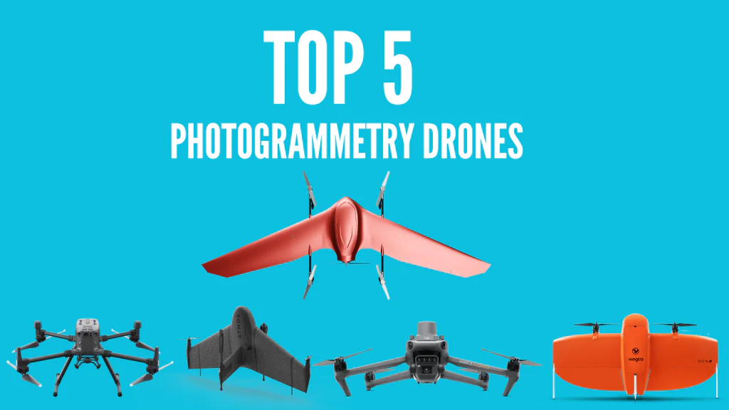
However, there are different types of drones and drone models from various manufacturers. To make it easier for you, here are the top 5 drones for photogrammetry and why they made it to our list.
Nimbus Mapper
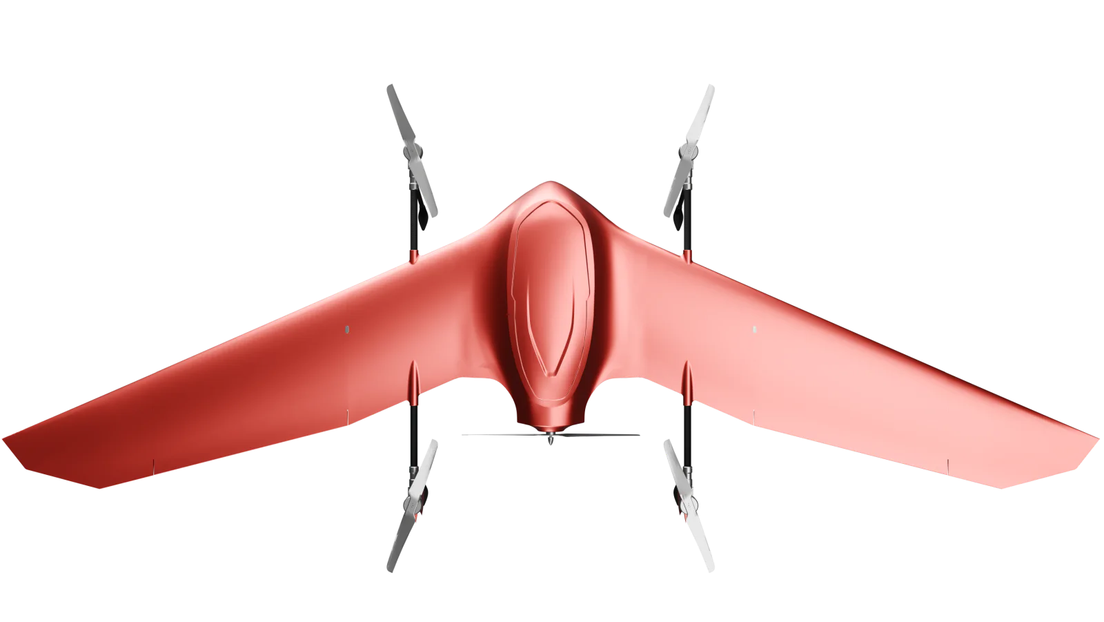
The Nimbus Mapper from Fadron is a go-to drone for precision mapping. Being an eVTOL, it combines the ease of use and accessibility of a multirotor with the efficiency, durability, long range, and extended flight times of a fixed-wing drone.
You don’t need a runway for the drone to take off, and in case it crashes, you can just replace the carbon fiber material. With a flight time of 120 minutes and coverage of 600 hectares per flight, you cover more ground than with other similar drones.
But its flight mechanisms aren’t the only reason this drone is great for aerial photogrammetry. When you get the drone, you get the whole ecosystem that will streamline your workflow.
This includes the Nimbus Pad or tablet to control the drone and monitor your operations, an app for creating flight plans and monitoring them, and a cloud management and authorization platform.
The Nimbus Mapper also works with RGB, LiDAr, thermal, and multispectral payloads, allowing you to collect different types of data. The 30KM radio link and supports both 5G and LTE, also will enable you to cover a lot of ground at a time.
DJI M300 RTK and M350 RTK
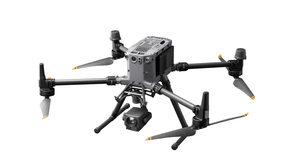
The DJI Matrice drone series is one of the best enterprise drones. The M300 RTK specifically has made a name for itself in surveying, surveillance, mining, inspection, and many other industries due to its ability to work with different types of payloads, both from DJI and third-party manufacturers.
Whether you want to collect RGB, infrared, multispectral, liDAR, or magnetic data types, you will find a payload that will attach to your M300 RTK as long as it weighs 2.7 KG or less.
The RTK in the name also means that it supports RTK, allowing you to collect accurate data. The 40-plus minute flight time is also quite long for a multirotor drone, while the 360 obstacle avoidance and automatic RTH enhance the drone’s safety.
It is also IP-rated to operate in adverse weather conditions. On the other hand, the M350 RTK is the M300 RTK’s upgrade, featuring a better range and better safety features, but they are similar in most aspects.
Mavic 3 Enterprise
While the M300 RTK and its upgrade are quite versatile, they are also quite expensive, take a long time to set up, and are quite bulky. If you want a smaller multirotor drone that will map fast and maintain accuracy, the Mavic 3 Enterprise is your next best option. It features a mechanical shutter, which is excellent for photogrammetry, and an RTK module for precision mapping.
This drone also has a 40-minute flight time and moves faster than the M300 RTK, allowing you to cover more ground in one flight. However, it features a fixed camera and sensor, so you can’t attach other payloads, and it’s also not IP-rated to work in unfavorable weather conditions.
Wingtra Gen II
The Wingtra Gen II is another excellent VTOL drone. Like the Nimbus, it can take off and land like a multi-rotor drone but cruise in flight like a fixed-wing drone. By combining the properties of these two drones, you get a flight time of up to 60 minutes and a coverage of up to 300 hectares per flight.
The Wingtra Gen II also works with up to 5 payloads, each providing different mapping solutions ranging from RGB to multispectral. It also comes with an inbuilt PPK module, which, like the RTK in the M300, enhances the accuracy of the data collected.
If you are curious about how effective the Wingtra Gen II can be, they published a case study where they mapped one of the largest mines in Europe and delivered the data in just 10 days.
Atmos Marlyn
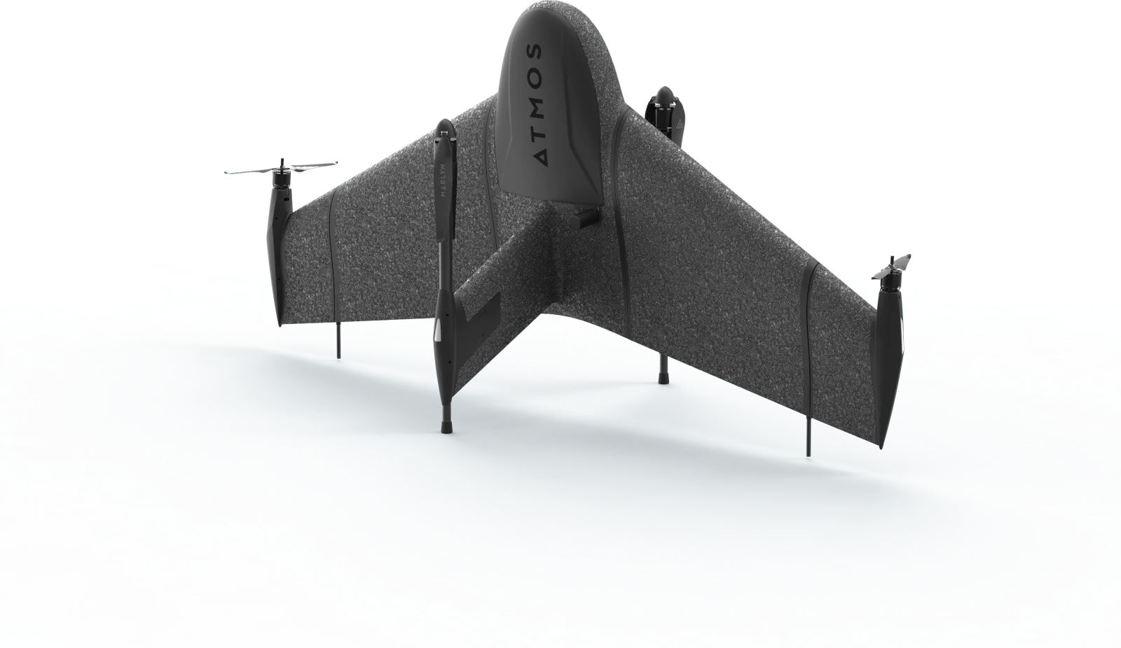
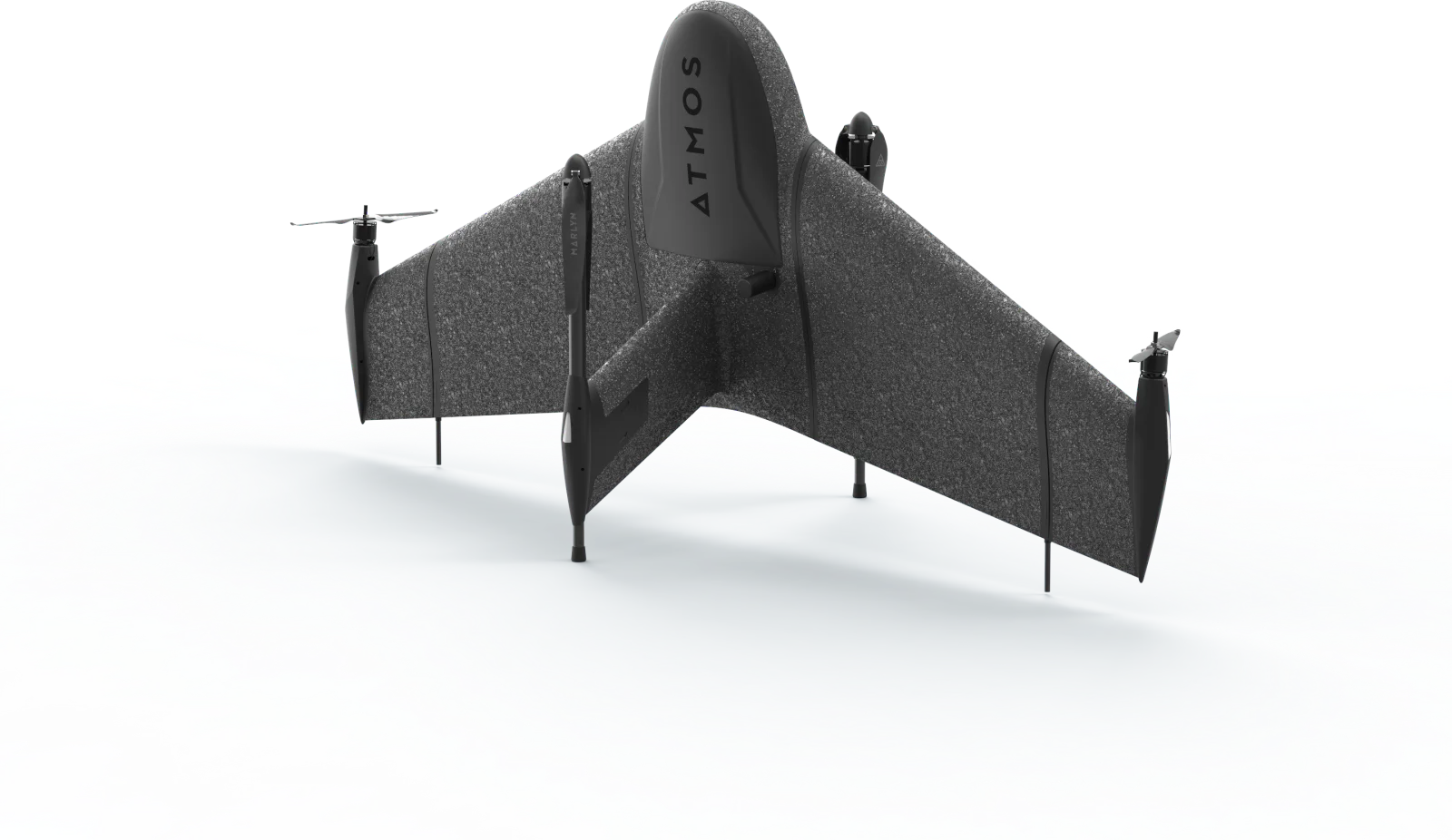
Built in the Netherlands, Europe, to meet the EU’s standards and regulations, the Atmos Marlyn is a VTOl drone designed for photogrammetry. It uses RGB payloads like the Sony A7RIV and multispectral payloads like the RedEdge-P, allowing you to collect diverse types of data.
These payloads are similar to those on other fixed-wing drones, so you can just get the platform and interchange the payloads from other drones. However, make sure they are compatible.
The Inbuilt PPk enhances accuracy to up to 1 CM, eliminating the need for GCPs. This drone is also IP54-rated and can withstand winds of up to 40 KM/H, making it quite durable.
Conclusion
If you are looking for the best drone for photogrammetry, our top 5 drones for photogrammetry are an excellent place to start. They made it to the top of our list due to their versatility, ease of use, accuracy, and compatibility with other platforms.
The Nimbus Mapper, Wingtra Gen II, and Atmos Marlyn are great options for mapping very large areas where multirotors wouldn’t be practical. The M300 RTK provides versatility and payload capability, while the Mavic 3 Enterprise is a compact yet accurate tool for RGB photogrammetry.
Want to learn what is the best software for photogrammetry? Check here.
What is the difference between photogrammetry and LiDAR surveying? Check here.