Case Study: Success Stories of UAVs in Large-Scale Mapping Projects
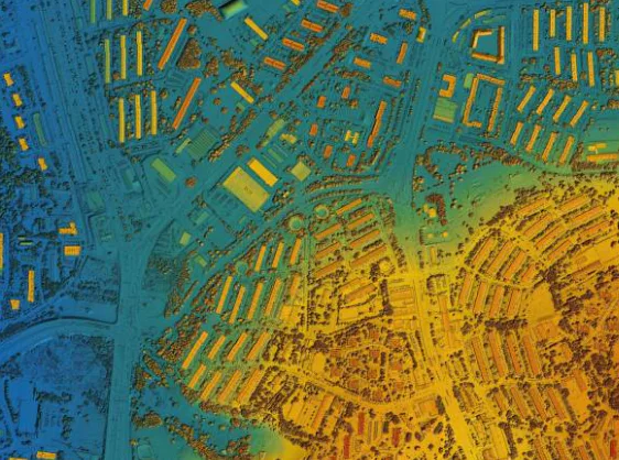
UAVs have revolutionized mapping. They are faster than traditional surveying and mapping methods and provide relatively more accurate data than satellite imagery in real-time. Below are some case studies of how beneficial UASs have been.
Kenya Red Cross Innovative Use of UAV Data to Manage Refugee Settlements
To address the challenges internally displaced persons and refugees face in northern Kenya, the Kenya Red Cross Society, in partnership with OpenStreetMap and UNHCR, collected high-resolution images of 7600 ha of land occupied by refugees. The drone used was the WingtraOne Gen II, which they selected due to its ease of use, ability to collect high-quality data, and toughness to withstand the high temperatures of Northern Kenya.
The data collection process took 37 days. The output orthomosaics and DTMs were to be used for machine learning models to update the maps in the future. The resulting data would also inform stakeholders on the best places for infrastructure, utility structures, and social amenities.
Read more about it here.
Protecting the Amazon Rainforest Ecosystem With Drone Mapping
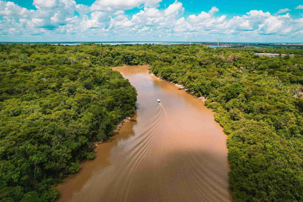
The Amazon rainforest is the largest in the world, but it has been subject to encroachment and deforestation over the years. To protect the remaining areas, NGOs like Wilderness International purchase these regions and work towards maintaining them. To account for the total mass, they must first map it out.
In 2022, Wilderness International mapped out 3000 Hectares of the Amazon forest, generating orthomosaics and multispectral data, which was later used for plant health analysis. The drone used was the Quantum-Systems Trinity F90+ and the images collected (30,000 images total) were processed using Pix4DMatic since it’s designed to handle large datasets.
Mossy Earth, another organization that bought part of the Amazon forest, also used a DJI Mavic 3 Multispectral to collect 1000 images and processed them using the Pix4dMatic.
Avalanche Detection in Norway
Yellowscan shared a project in which they used RGB and LiDAr sensors onboard a Velos V3 unmanned helicopter to map and detect avalanches. The resulting data was used to help prevent disasters along Norway’s roadways, update previous maps, and set a base map for UAV mapping in the region. This project demonstrated UAVs’ ability to operate in harsh conditions such as cold, wind, and snow.
Highway Mapping in Germany
Microdrones recently completed a drone mapping project of a 9 km highway section in Germany. The goal was to generate a Digital Terrain Model for highway planning and expansion. This project showcased the accuracy of a UAV mapping system, considering accuracy is paramount in road mapping projects.
UAV Mapping For Construction Project Documentation and Monitoring
Webcor is one of the engineering firms involved in expanding the University of California Merced, the Merced 2020 project. Like most public and private sector construction projects, stakeholders need regular updates.
Since the construction was taking place over 219 acres, Webcor needed a way to document the construction and give stakeholders regular updates, and drones proved to be the solution. They contracted Multivista, which used UAVs for aerial photography. This helped in material tracking, verification, and QA/QC, ensuring the project remained within the stipulated timeline and budget.
Conclusion
Drones or UAVs have been helpful in several large-scale mapping projects worldwide. The examples given above showcase how valuable drone mapping can be in projects ranging from environmental conservation to construction monitoring to highway and infrastructure planning to disaster prevention.