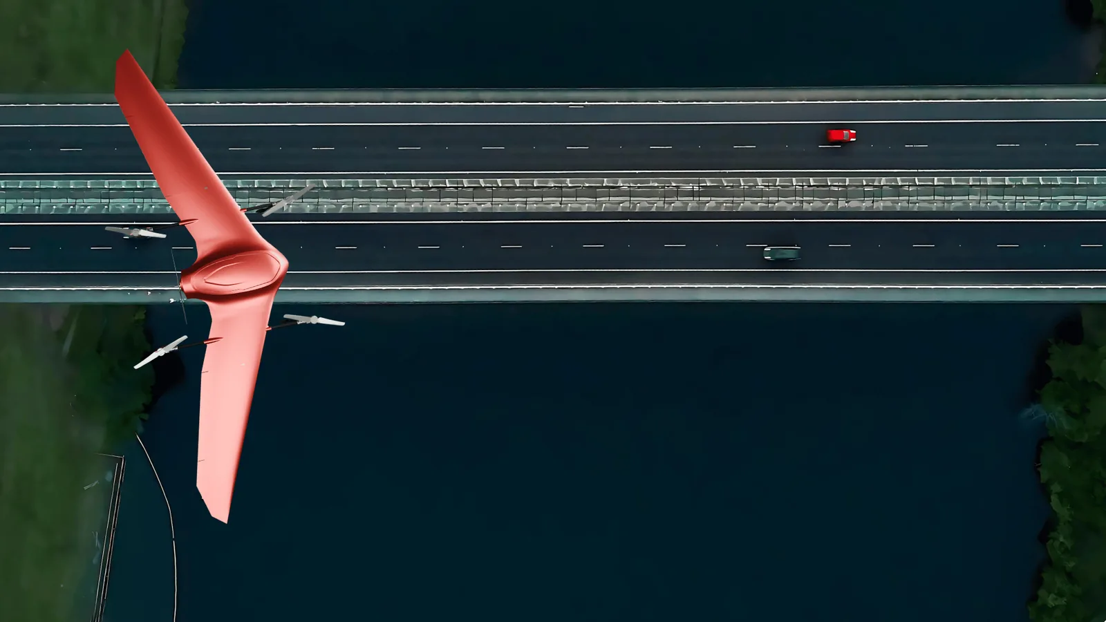
Whole network
Infrastructure
Roads, runways, taxiways and aprons, flown end to end in one launch. The pavement comes back scored to ASTM D6433 or D5340, with every defect measured and on a coordinate.
Nimbus UAS
Nimbus launches and recovers without prepared ground, flies up to 300 km between one launch and one landing, and returns the whole route as one continuous dataset. One operator runs it. Built in Bulgaria, an EU and NATO member state, and supplied as a configured mission package rather than a bare airframe.
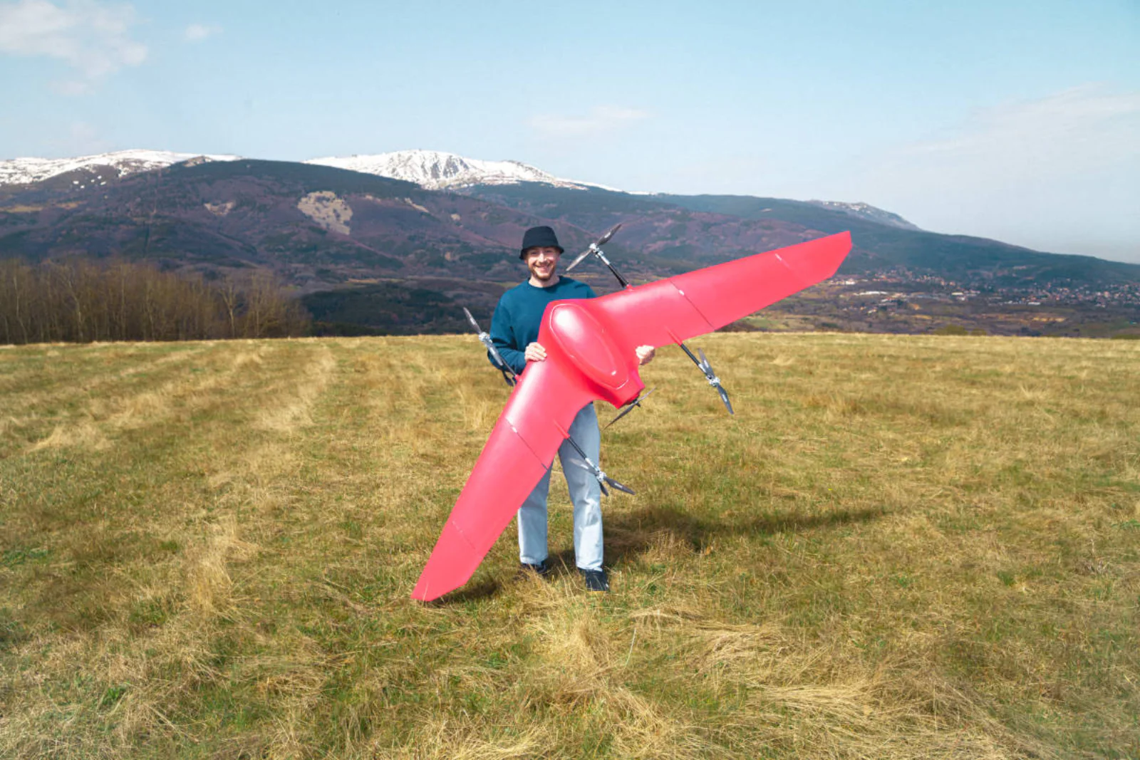
The airframe
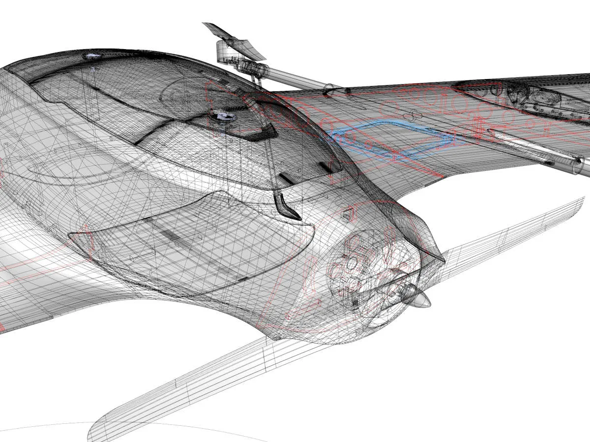
A 2.82 m wing and up to 4 kg of sensor, unpacked, launched, flown and recovered by one operator. Nothing is brought to site to get it airborne. For a survey operator, one-person operation is what sets the day rate.
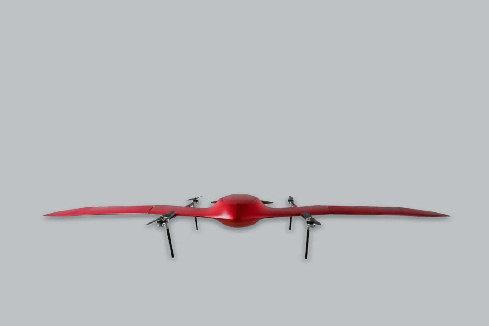
Structure
The primary structure is carbon fiber, engineered and laid up in house. That is what keeps a 2.82 m aircraft at a 13 kg maximum takeoff weight. Every kilogram the structure does not spend on itself is a kilogram of sensor, of battery, or of time in the air.
Survey economics
The same measurement taken two ways, costed the way an airport already costs it: hours the surface is closed, people on the movement area, and the price of the survey.
| One 3,000 m runway | Surveyed on foot | Surveyed from the air |
|---|---|---|
| Time the surface is closed | 4 hours | 40 minutes |
| People on the movement area | 5 | 2 |
| Cost of the survey | $6,600 | $2,100 |
Fadron published comparison.
For an airport, the closure line matters more than the cost line. Four hours of runway time has to be found in the schedule and paid for in delayed movements. Forty minutes fits inside an off-peak window that already exists.
The ratios hold across a network: 20 to 40 minutes of flying per 3 km against 2 to 4 hours on foot, a crew of two against four to six, and $90 to $120 per km against $200 to $300 per km.
Coverage per flight
Every aircraft flown to the same brief: 27 mm/px, 60% side overlap, each at its manufacturer's published maximum flight time with the mapping sensor it is sold with. Nimbus is flown at three hours rather than its four-hour maximum, which is the endurance a routine sortie plans around.
Coverage = sensor width in pixels × ground sample distance × (1 − overlap) × cruise speed × flight time. Flight times and sensors are each manufacturer's published figures. Run it against any aircraft on the chart in our GSD and UAV performance calculator. Fadron's own 1,000 ha per flight is quoted at a finer survey resolution of about 10 mm/px, where every aircraft here scales down in the same proportion. Real coverage depends on terrain, wind, turn overhead, and the mission plan.
On the same brief, one Nimbus flight covers about three and a half times the area of the nearest fixed wing and about four and a half times that of a survey multirotor.
Mission types
Roads, runways, taxiways and aprons, flown end to end in one launch. The pavement comes back scored to ASTM D6433 or D5340, with every defect measured and on a coordinate.
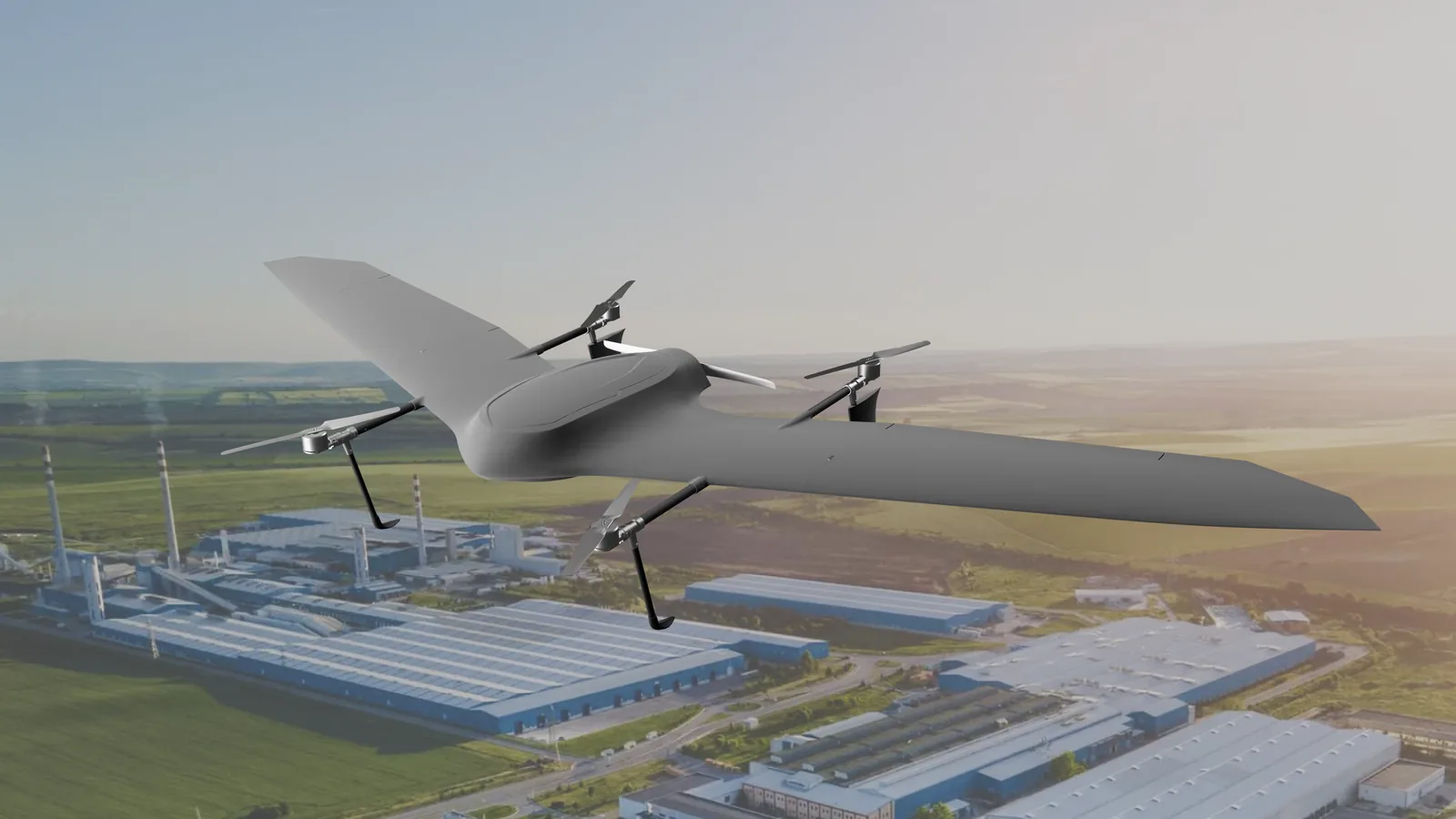
Transmission lines, pipelines and solar fields. Thermal and RGB fly together, so the hot joint and the photograph that proves it arrive from the same pass.
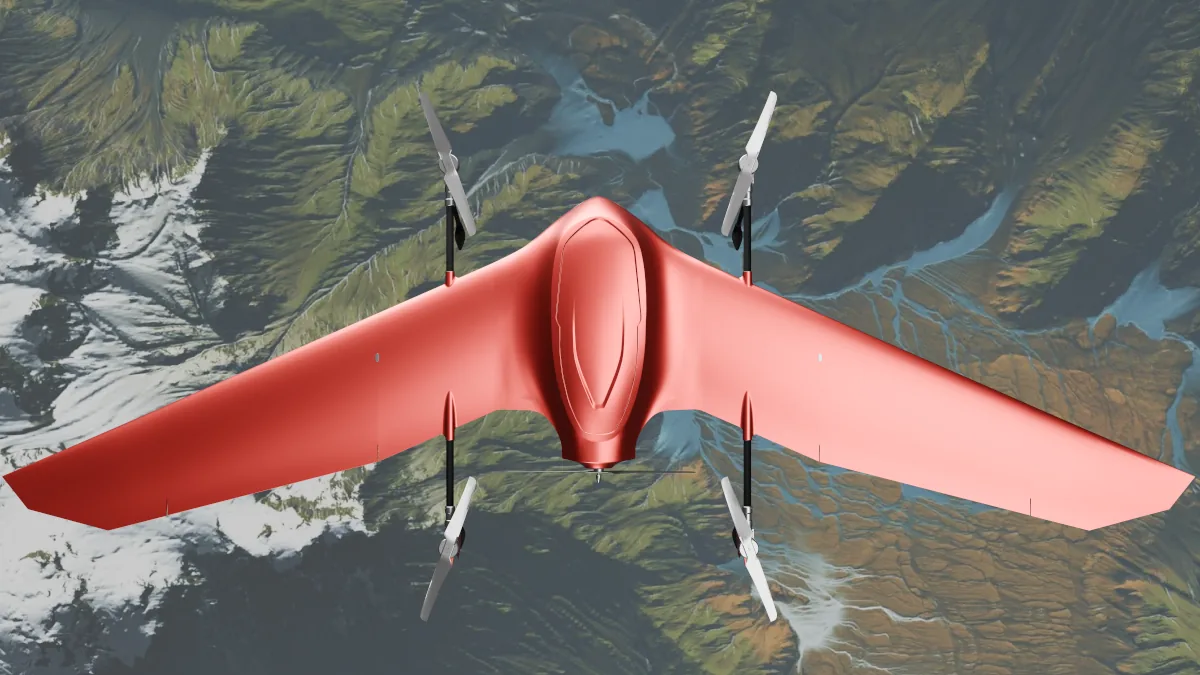
Forest, coastline, wetland and burn scar, surveyed from a clearing with no road in. Fly the same plan next season and the change comes back measured.
Deployment
Inspection intervals
Condition monitoring on a fixed interval.
Most infrastructure is inspected after a failure or a complaint. The interval is set by the cost of mobilizing: prepared ground or a closure for the launch, a crew on the surface for a shift, and a window negotiated with whoever owns the asset. When an inspection costs all three, it gets scheduled when a budget line forces it.
An aircraft that launches from the road shoulder and covers the whole asset in one sortie removes all three. A runway becomes a quarterly flight. A corridor gets flown after a storm season.
For a survey operator, that is the commercial point. Recurring condition work is a different order book from one-off mobilized surveys.
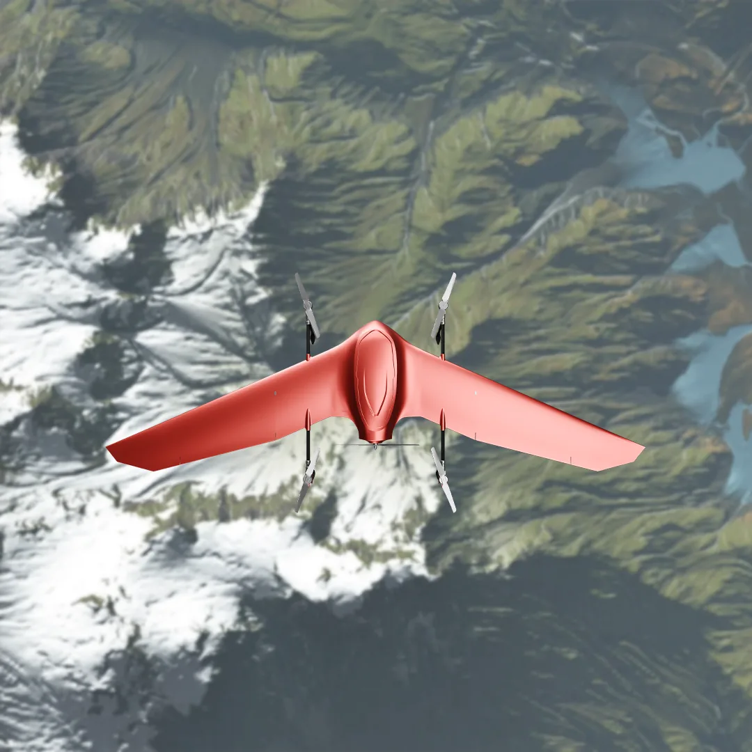
Two configurations
Both share the airframe, the flight stack, and the ground equipment. What changes is the payload and what runs on it.
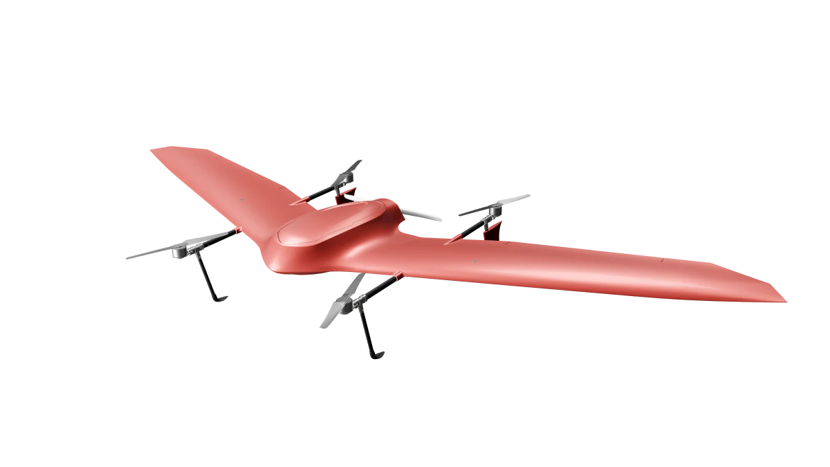
The survey configuration. A site or corridor is flown in one sortie and processed in HALO AI: measured defect quantities, with ASTM PCI where pavement is the subject, back within 24 hours of upload.
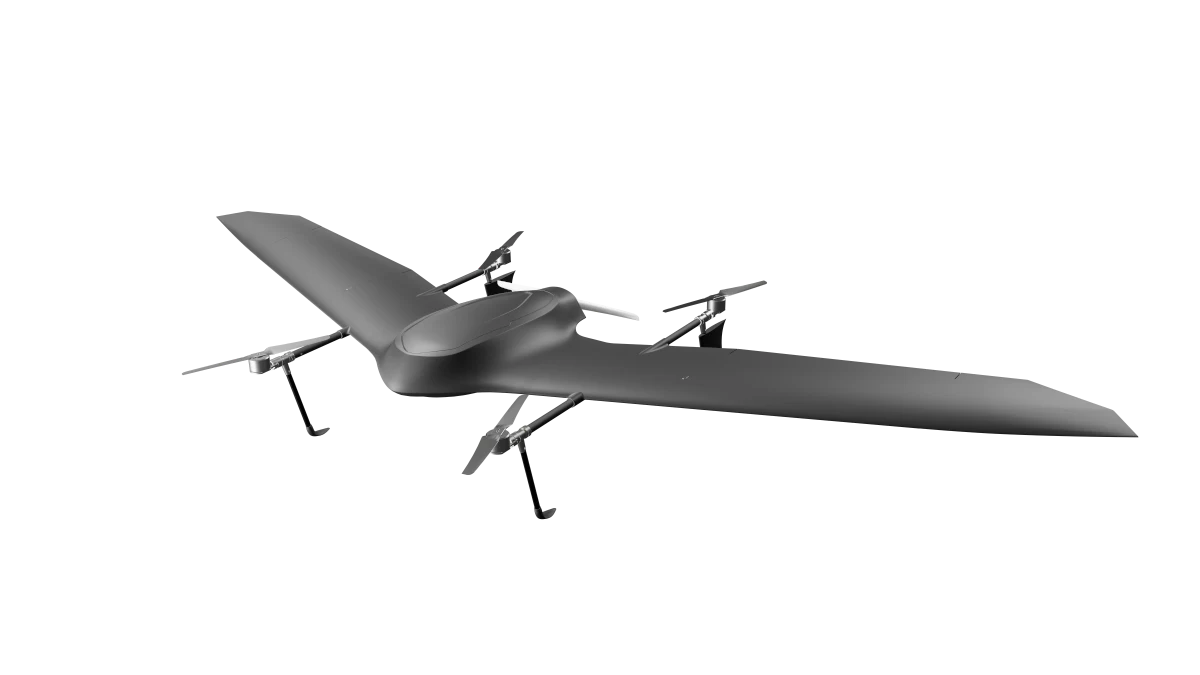
The ISR configuration. Up to four hours on station with the second battery fitted, multi-link comms across RF, cellular, satellite, and SDR, and custom AI detection and tracking running on board. GNSS-denied navigation on request. Built for force protection and border security, where time on station is the requirement.
Recon is available in an NDAA-compliant configuration. Since the FCC added foreign-produced drones to its Covered List in December 2025, airframe origin has become a pass-fail question on US federally funded work, and an ineligible aircraft can disqualify the program that bought it. State the requirement when you ask for the quote and we will build to it.
Defence and government organisations, start on our Defence & Government page.
Request a Recon quotePayload heads already integrated





Other heads integrated on request. Trademarks are the property of their owners.
After the sale
Engineering changes after delivery are made and validated by us: a mounting interface, a payload power budget, a parameter set for an unusual mission profile. Nothing waits on a third party to agree, and a question about any subsystem is answered by the engineer responsible for it.
Spares and repairs ship from the same facility through a European supply chain, and structural parts are made on the equipment that made the aircraft. A repair is a manufacturing job with a lead time we quote.
Before you order
The aircraft in your chosen configuration, the payload scoped to your mission, flight-planning software, HALO AI integration, and operator training. Full hull and liability insurance is available as an add-on and can be quoted with the package.
Lead time depends on configuration and payload. We confirm the delivery window in writing when we scope your package, before you commit, and it forms part of the specification you sign.
Yes. Every package ships configured and trained, so your team flies it without us. The flight stack is PX4 with QGroundControl, so crews who already know the open-source ecosystem start from familiar ground.
Support is part of the package, scoped per configuration. Spares and repairs come from the factory that built your aircraft, on a lead time we quote.
No, and no aircraft can. These are two separate mission modes. Maximum-area mode covers up to 1,000 ha in one flight at survey resolution, about 10 mm/px. Maximum-detail mode maps down to 0.1 mm/px over a smaller area, flown lower and slower. We plan the mode around the deliverable you need.
Nimbus Recon is available in an NDAA-compliant configuration. Tell us when we scope your package and we will configure for it. Blue UAS Cleared List status is a separate certification, and we do not hold it.
In the EU, a Nimbus mission falls under EASA's Specific category, so your national aviation authority issues an operational authorization built on a SORA. We prepare that application with you, for VLOS and BVLOS: concept of operations, ground and air risk assessment, submission package, and the aircraft data the assessment calls for. In the US, flights run under FAA Part 107; in Canada, under Transport Canada's RPAS rules.
Yes, and it is what makes the range usable: one authorization covering the route instead of observers leapfrogging along it. BVLOS sits at the demanding end of the SORA, and we supply the documentation the assessment requires. In the US it runs on a Part 107 waiver. Until an approval is in place, a corridor can be flown as VLOS or EVLOS segments and consolidated under one authorization later.
Fadron operates in compliance with EU dual-use export control regulations. Availability of specific configurations, in particular the Recon ISR payloads, depends on destination and end use. Put your country of operation on the quote form and we will confirm what applies.
Every Nimbus flight is processed in HALO AI and returned as measured, scored deliverables.
Order
Tell us whether it is Mapper or Recon and what you will fly it for. The quote comes back within one business day.
If you would rather see it fly first, say so in the message field and we will arrange a demonstration flight.
The numbers
Flight time and range depend on payload and conditions. Full data sheet with your written quotation, or request it here.