Nimbus Recon in TAK: Cursor-on-Target Tracks, RTSP Video and Waypoint Control
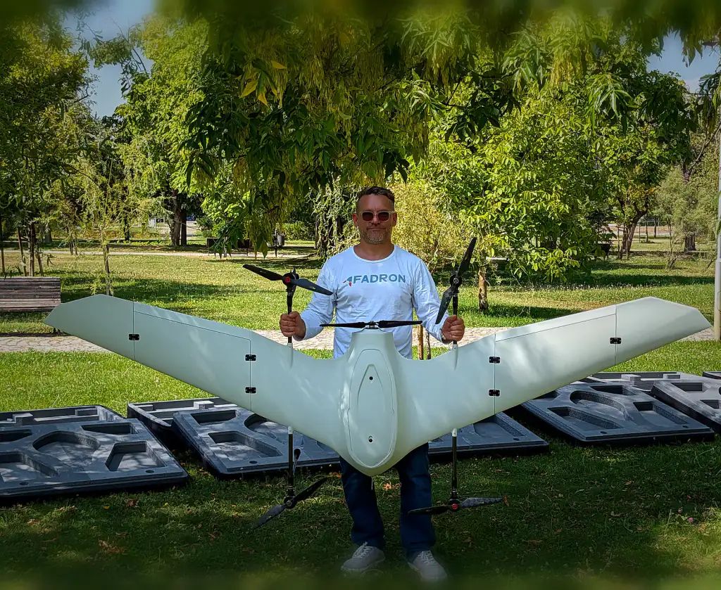
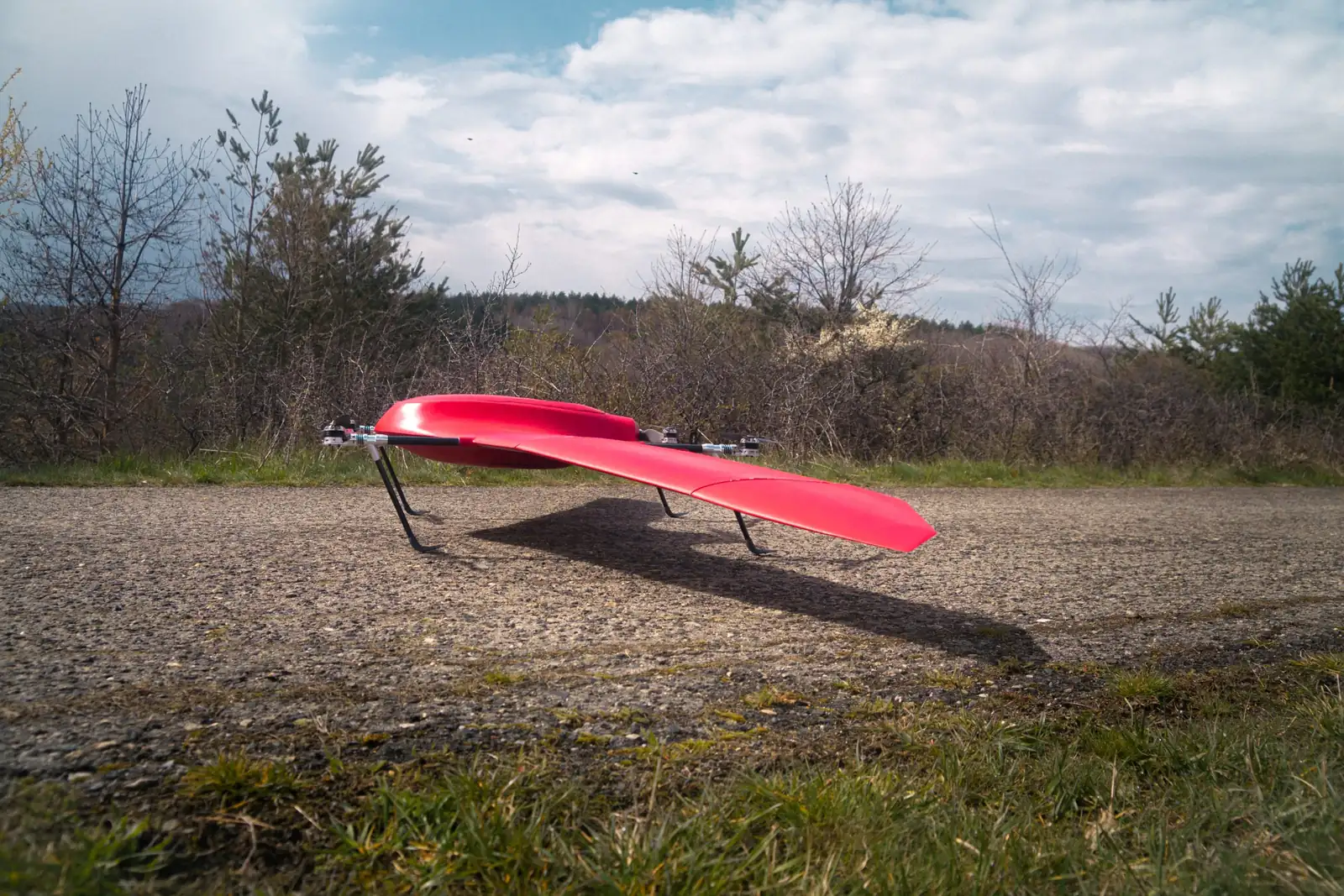
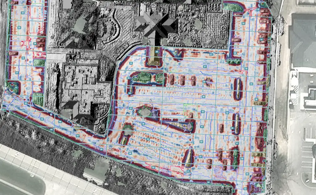
Nimbus Recon, Fadron's long-range VTOL drone for ISR, works inside TAK. It publishes its position, status and mission data as Cursor-on-Target (CoT) messages, streams H.264 or H.265 video over RTSP, and accepts waypoint and orbit commands sent from TAK. An operator in ATAK or WinTAK sees the aircraft as a live track on the shared map, opens its video, and retasks it without leaving the app. We validate the integration on your own network.
This guide is for integrators, prime contractors and procurement teams who need to know what "ATAK compatible" means in practice: what the protocol carries, which TAK version your users run, and which radio link carries which data.
What TAK is and who uses it
TAK, the Team Awareness Kit, is a geospatial situational awareness platform owned by the US Government. It runs as ATAK on Android, iTAK on iOS and WinTAK on Windows, with TAK Server connecting teams across networks. TAK was developed with end users in response to a US Special Operations Command combat mission needs statement, and law enforcement, fire and emergency services and commercial users have since adopted it. The baseline software is available from the US Government at no cost.
For an integrator, that reach is the point. When a customer's soldiers, border police or civil protection teams already share a TAK map, a drone that speaks TAK appears on screens they already trust. Nobody has to learn a second interface, and nobody has to relay a position by radio.
Cursor-on-Target in plain terms
Cursor-on-Target is the XML message format, originally defined by MITRE, that TAK uses to share what is happening, where and when. The CoT schemas are published in the open ATAK-CIV repository. Every message is an event with three parts:
- Event: a unique ID, a type code such as
a-f-Afor a friendly air track, the time it was sent, and a stale time after which the track drops off the map. - Point: latitude, longitude, height above the ellipsoid, and the circular and linear error of the fix.
- Detail: everything else, including callsign, speed, heading and the sensor's azimuth, elevation, field of view and range.
The stale time does quiet but important work. When an aircraft stops reporting, its track fades from the map, so nobody acts on an old position. The sensor fields are what let a TAK client draw where the camera is looking. TAK carries CoT as XML or Protobuf, and both reach the same map.
What a drone sends into TAK, and what TAK sends back
A drone in a TAK network has four things to share and one thing to receive:
- Position and status: the aircraft as a moving track, with altitude, heading and speed, updated in flight.
- Sensor footprint: where the camera points and what it covers on the ground, so a team leader can see what the drone sees before opening the video.
- Video: CoT carries no pixels. The video travels as a separate stream, usually RTSP, that the TAK client opens by its address.
- Mission data: the planned route, so everyone on the map knows where the aircraft goes next.
- Commands back: waypoints and orbits sent from TAK, so the person who spots something can put the aircraft over it.
Integrators usually describe this as three levels of integration, the same ladder used with the UAS Tool plugin for ATAK. At the first level, TAK users see the drone's position and video. At the second, they also steer the sensor. At the third, TAK sends the aircraft itself new tasks. Each level puts more of the mission in the hands of the person closest to it.
What Nimbus Recon does in TAK
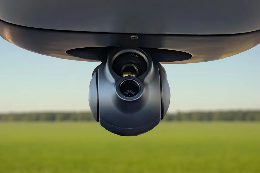
Nimbus Recon publishes its position, status and mission data as CoT, so it appears on the TAK map as a live air track alongside the people it supports. It streams video from its EO/IR gimbal, which includes a thermal camera for night work, as H.264 or H.265 over RTSP, and ATAK and WinTAK open it like any other feed. And it accepts waypoint and orbit commands from TAK, which takes the integration to the level where it pays off: a patrol leader who sees movement on a ridgeline can send the aircraft to orbit it from the same screen.
The aircraft behind those messages is a 4+1 quadplane: it takes off vertically from a small clearing and flies its patrol on the wing, with up to 300 km of flight range. Its navigation continues when GPS is jammed or spoofed, by day and by night, which our article on NDAA compliance, GNSS-denied navigation and encrypted links covers in full. The full specification is on the Nimbus page.
Which radio link carries what
CoT is small and video is large, so a good integration puts each on the link that suits it. Nimbus Recon carries several bearers:
- Mesh IP radio for video and C2. The aircraft joins the ground mesh as one more node, so CoT and RTSP reach TAK devices on the same IP network.
- C2 and telemetry radio with message signing and AES-256 link encryption, at up to 100 km.
- Iridium SATCOM for low-rate telemetry and C2 beyond line of sight: enough to know where the aircraft is and to send it new instructions, sized for short messages rather than video.
- LTE and 5G cellular on request, where a network is available.
In practice, video and the rich TAK picture ride the mesh, while satellite keeps command alive when the aircraft flies beyond the mesh and out of radio line of sight.
TAK-CIV, TAK-GOV and TAK-MIL: which version your users run
TAK ships in three product lines, and tak.gov sets out who may use each:
- TAK-CIV is public. ATAK-CIV is open source on GitHub and on Google Play, and is classified EAR99 for export.
- TAK-GOV is for lawful government purposes. Foreign government users can obtain it through Direct Commercial Sales from a commercial organisation that holds US Person access on tak.gov.
- TAK-MIL is restricted to US Government military use. Allied forces receive TAK through Foreign Military Sales, a government-to-government programme.
Access to tak.gov's developer tools follows the same lines. Non-US developers get in as FMS recipients or as foreign companies under US Government contract, while a third-party pipeline for signing plugins is open to anyone not on the Denied Parties List. For a programme in Canada, Italy, Chile or an EU consortium, the useful consequence is that the CoT format and RTSP video are common ground across all three lines, so an integration at the message and stream level travels well between them.
Integration on your network
Every Nimbus Recon integration ends with validation on the customer's own network, because that is where a TAK picture has to hold up. The questions to settle there are practical. Does the network run peer to peer or through TAK Server? Which multicast groups or server connections carry CoT? Can every end-user device reach the RTSP address? Which callsign and type conventions does the unit use? Which station holds command authority over the aircraft? Settle those once and the aircraft behaves like every other trusted track on the map.
Questions buyers ask
Is Nimbus Recon ATAK compatible?
Yes. Nimbus Recon publishes its position, status and mission data as Cursor-on-Target, streams H.264 or H.265 video over RTSP, and accepts waypoint and orbit commands from TAK. ATAK and WinTAK users on the same network see it as a live air track.
Does it need TAK Server?
That depends on your network. TAK works peer to peer or through TAK Server, and we validate Nimbus Recon on the architecture you run as part of integration.
Which link carries the video?
The mesh IP radio carries video and C2 into the ground network, with LTE and 5G available on request. Iridium SATCOM carries low-rate telemetry and C2 beyond line of sight.
How quickly can we receive aircraft?
Lead time is 10 weeks. Nimbus Recon is built in Bulgaria, an EU and NATO member state, and is available in an NDAA-compliant configuration. For how European programmes are funding purchases like this, see our guide to SAFE, the EDF and buying European drones.
See Nimbus Recon on your TAK network
The fastest way to judge an integration is to watch the aircraft appear on your own map. Request the Nimbus Recon data sheet or a demonstration flight on your own site, or compare configurations on the Nimbus page. If your area of operations sits in the mountains, read how Nimbus Recon handles high altitude, cold and wind at 4,000 m.