The platform
HALO AI turns drone imagery into ASTM PCI reports.
Upload high-resolution imagery from any survey drone. Within 24 hours, every distress comes back traced at pixel level, measured, and scored section by section to ASTM D6433 or D5340. Send a flight you have already flown and see it on your own pavement.
The platform, live
A real survey, live from the platform.
Pan it, switch the layers on, and read the scored surface where the distresses were found. It opens in any browser.
The whole survey, sent to you.
Every section scored, the distress inventory behind the score, and the PCI heatmap across the full site. We will email you the link.
Inside the pipeline
What happens between your upload and your report.
Stage 01
Your imagery goes up as it comes off the card.
HALO AI takes the files in the format your camera wrote them, aligns the overlapping frames, and builds a calibrated orthomosaic of the whole surface. Three gates run on that mosaic before any analysis starts, and a dataset that fails one comes back to you flagged, with the reason.
- Coverage: enough overlap between frames to align the whole surface
- Resolution: the ground sampling distance the standard needs
- Georeferencing: standard metadata, so every distress lands on a real coordinate
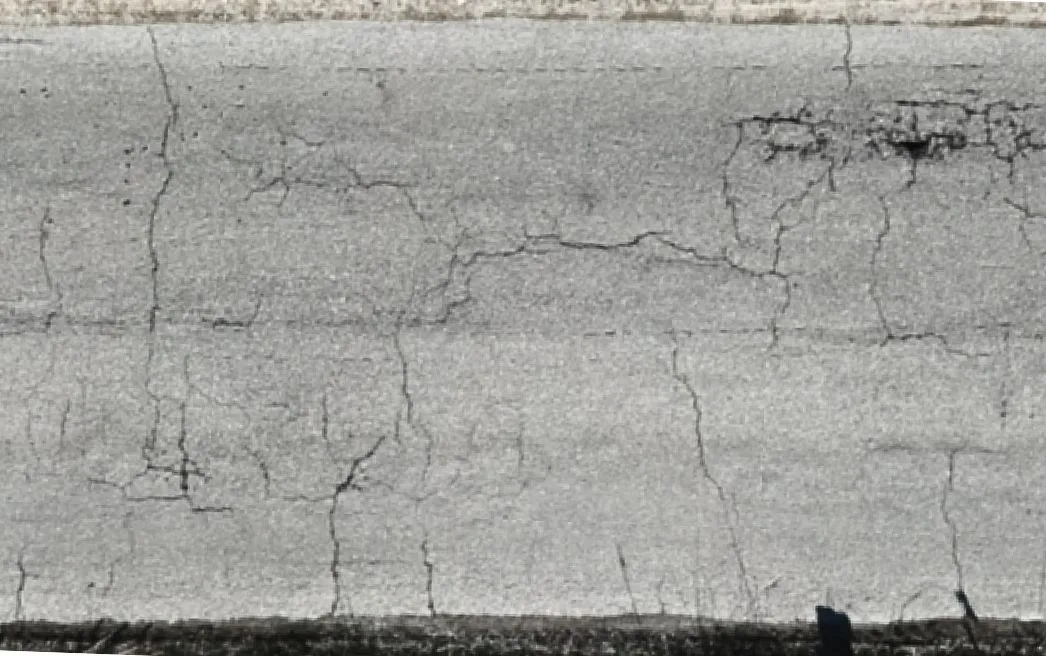
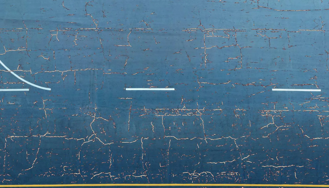
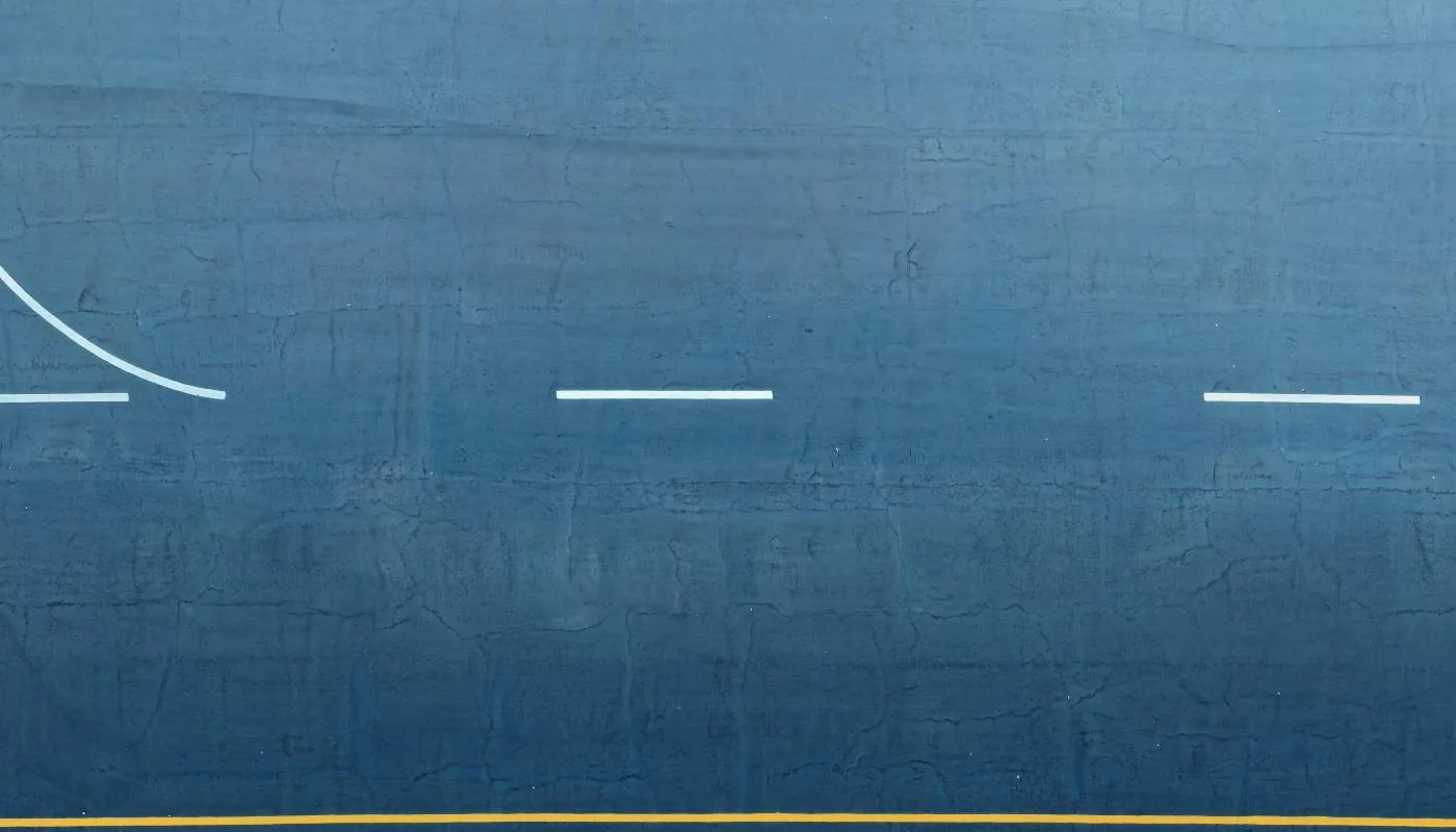
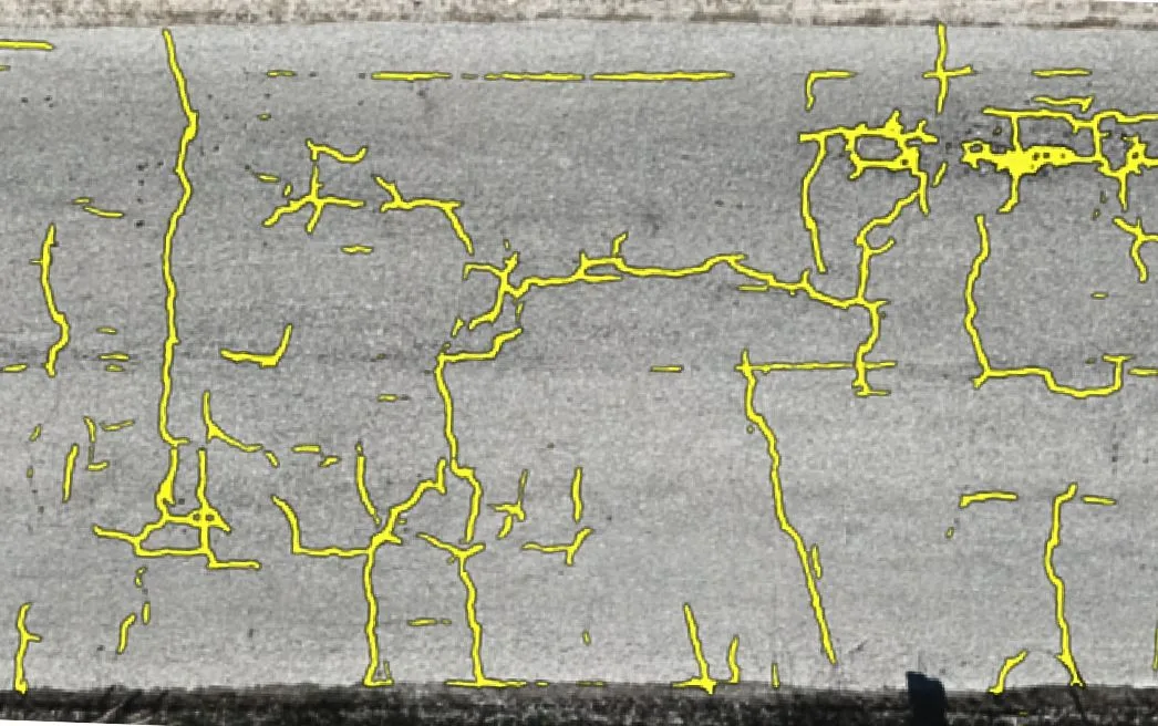 Raw imagery
HALO AI detection
Raw imagery
HALO AI detection
Stage 02
Two models read every pixel.
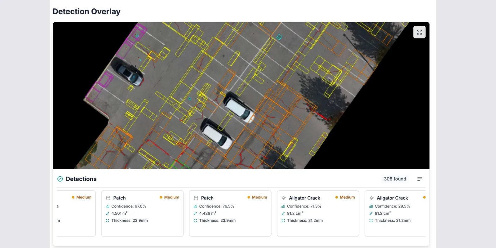
A UNet segmentation model traces distress geometry at pixel level, the exact shape and path of every crack. A YOLO object detection model works the same imagery for discrete defects, locating each one with a boundary and a class. The two outputs are fused geospatially and filtered with non-maximum suppression, so a defect both models find is counted once, with the geometry of one and the classification of the other.
Behind them sit 1.8 million labeled samples from airports, highways, and parking sites.
Stage 03
Measured, then scored to the standard.
Every distress carries its own measured extent. From those quantities HALO AI computes deduct values by distress type, severity, and density, corrects them, and scores the pavement to ASTM D6433 or D5340. The intermediate math travels with the score, so the arithmetic that produced it can be re-run.
- PCI per section, computed from 100% of the imaged surface
- Repair quantities totaled by distress type, in square meters and counts
The second survey is worth more than the first.
Re-fly the same asset next quarter and HALO AI aligns the two datasets, so new and worsening distresses arrive as a change list. Deterioration rates per section feed your capital planning cycle, and threshold alerts flag any asset that crosses the PCI floor you set. The same algorithm scores every survey, so a change between them is a change in the pavement.
One operator
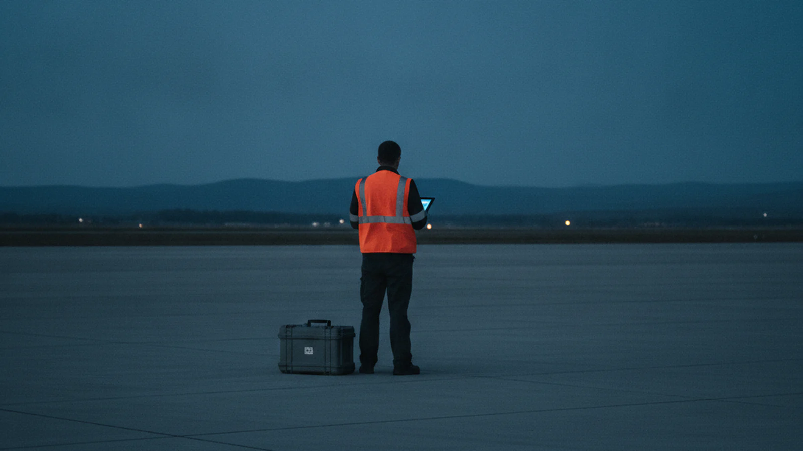
The analysis starts before you leave the site.
Upload from the field. Every step after the landing runs in the platform, so one operator carries the whole survey.
Accuracy
The best crack identification AI, and the numbers that say so.
Every crack HALO AI traces comes back with a measured width, length, and area, accurate to 98%.
The PCI score built on those measurements agrees with qualified engineers' own scoring of the same surface to 95%, validated by direct comparison against engineer scores. Published inter-rater data puts two qualified engineers about 16% apart scoring the same pavement by hand.
Independent research on this class of crack-detection model reports recall around 95% (FAA Tech Center, 2023), with DGAC France (2022) and the University of Texas (2024) in the 94 to 97% band.
Standards
The score your auditor already trusts.
A PCI computed to the standard is the number a budget can be built on. HALO AI computes it, keyed to your own segmentation and ready to load into the pavement management system your program runs on.
Your auditor can re-run the ASTM math by hand, from the printed deduct values to the maximum corrected deduct value.
Every input to that arithmetic is in the report: distress type, severity, and measured extent, per sample unit.
Outputs are built to support FAA Part 139, ICAO Annex 14, and EASA ADR records, and concrete analysis aligns with FHWA guidelines and ACI practices.
How each output maps to your regulator and your ops manual is a conversation for your compliance team. Bring them to the demo and we will walk the mapping together.
Your imagery
HALO AI runs on the imagery your fleet already produces.
The requirement is high-resolution, georeferenced imagery. The platforms below already write it, and so do custom builds. If you fly for your own clients, the analysis becomes a deliverable you bill on top of the flight you already sell.
Resolution floors: about 5 mm/px for roads and parking lots, about 3 mm/px for airfields, and 1 mm/px for concrete structures. At pavement resolution, plan on 5 to 30 ha per flight hour.
Our GSD calculator turns those targets into a flying height for the camera you already own, or a standoff distance where the surface is concrete.
What it reads
Nine ASTM distress types, each classified by severity and measured across the full imaged surface, alongside pixel-level crack tracing, vehicle detection, and sealed versus unsealed crack condition.
Deployment
What comes back, and where it runs.
Every project ends in a set someone can act on: PCI tables for the engineer, shapefiles and GeoJSON that load into your pavement management system, DXF for the designer, color-coded condition maps for the council meeting, and a digital twin for everyone who was not on site.
Results and the digital twin open in the browser, and GIS exports download straight from the platform. Private deployment is available on request for large, security-sensitive organizations.
FAQ
HALO AI platform questions.
No. HALO AI reads imagery from any qualifying platform. Nimbus is the aircraft we built for the workflow, and it is optional.
Yes. Handheld cameras, smartphones, and vehicle-mounted systems can be used when the imagery meets our resolution and georeferencing requirements. Drone capture remains the standard workflow.
Yes, and HALO AI is what fills it. Your pavement management system holds the inventory, the budget model, and the treatment history. HALO AI produces the condition data those depend on, exported as shapefile, GeoJSON, or CSV against your own segmentation so it loads without remapping.
Every dataset passes the three automated quality gates before analysis runs. Where the score has to carry a signature, the Engineer-Verified QA add-on puts a civil engineer's review and sign-off behind the defect classifications and the PCI calculations, through the Early Access program.
Reports are delivered within 24 hours of imagery upload. A parking lot or a similar image-only site is usually back the same day, in about three hours. A large or multi-runway airfield is scoped case by case, so agree that window with us before you commit a date to anyone else.
The fastest way to feed HALO AI is the aircraft we built for it. Nimbus flight plans are tuned to these capture requirements, and the imagery lands in the platform with no integration step in between. Meet Nimbus.
HALO AI on your own imagery.
Send the link to an orthomosaic you have already flown. Within 24 hours we confirm it is valid and put it into analysis, then hand back the deliverable set your own pavement produces on 1 ha of it, at no charge. The terms are on the pricing page.